
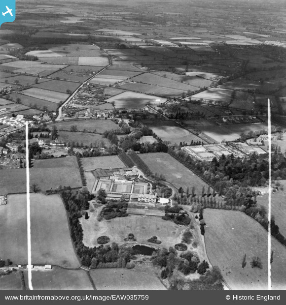
eaw035759 ENGLAND (1951). Dunchurch Lodge and environs, Dunchurch, 1951. This image has been produced from a print marked by Aerofilms Ltd for photo editing.
© Copyright OpenStreetMap contributors and licensed by the OpenStreetMap Foundation. 2024. Cartography is licensed as CC BY-SA.
Nearby Images (10)
EAW035759

EAW035754

EAW035750

EAW035758

EAW035749

EAW035756

EAW035752

EAW035757

EAW035751

EAW035753

Details
| Title | [EAW035759] Dunchurch Lodge and environs, Dunchurch, 1951. This image has been produced from a print marked by Aerofilms Ltd for photo editing. |
| Reference | EAW035759 |
| Date | 11-May-1951 |
| Link | |
| Place name | DUNCHURCH |
| Parish | DUNCHURCH |
| District | |
| Country | ENGLAND |
| Easting / Northing | 448798, 271500 |
| Longitude / Latitude | -1.2836857927538, 52.339021857734 |
| National Grid Reference | SP488715 |
Pins
 Paul Waller |
Saturday 28th of August 2021 08:06:37 PM | |
Paul Waller |
Saturday 28th of August 2021 08:03:58 PM |


