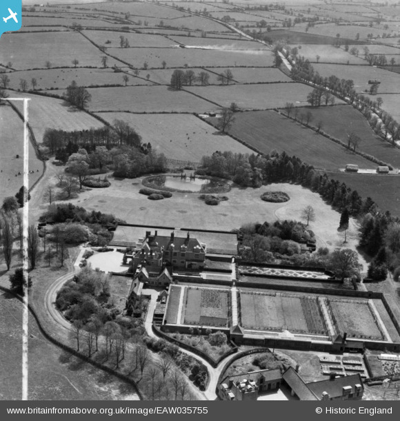
eaw035755 ENGLAND (1951). Dunchurch Lodge, Dunchurch, 1951. This image has been produced from a print marked by Aerofilms Ltd for photo editing.

© Copyright OpenStreetMap contributors and licensed by the OpenStreetMap Foundation. 2024. Cartography is licensed as CC BY-SA.

Nearby Images (10)

EAW035755
  0° 0m
EAW035751
  314° 133m
EAW035752
  315° 142m
EAW035749
  316° 154m
EAW035756
  335° 154m
EAW035753
  351° 168m
EAW035757
  351° 182m
EAW035758
  303° 203m
EAW035750
  334° 219m
EAW035754
  318° 252m

Details

Title [EAW035755] Dunchurch Lodge, Dunchurch, 1951. This image has been produced from a print marked by Aerofilms Ltd for photo editing.
Reference EAW035755
Date 11-May-1951
Link
Place name DUNCHURCH
Parish DUNCHURCH
District
Country ENGLAND
Easting / Northing 449054, 271183
Longitude / Latitude -1.2799745364216, 52.336149024909
National Grid Reference SP491712

Pins

DUNCHURCH LODGE Grade 2* Building built 1906-7. Now a hotel. Grade 2 listed gardens, early C20 gardens and pleasure grounds laid out by Thomas H Mawson to accompany an early C20 country house. The lodges and many items in the grounds are separately Grade 2 listed. Former farmland purchased 1804 by Richard Tawney on behalf of the Directors of the Oxford Union Canal Company. The Directors built a substantial house, known as Dunchurch Lodge, destroyed by fire 1890. New house completed 1907 and the grounds landscaped. The estate was sold to the English Benedictine Order in 1949. The Order in turn sold the property to the English Electric Company in 1950, which used the house initially as an apprentice hostel, and subsequently as a management college. To the North of the house two paddocks flanking the lime avenue were formerly polo fields. A two story concrete cottage to the North West of the house is grade 2 listed. 21st Century- became a conference centre / hotel / wedding venue

totoro
Tuesday 16th of May 2017 10:46:15 PM