
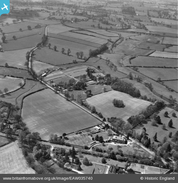
eaw035740 ENGLAND (1951). Old Milverton Lane and environs, Old Milverton, 1951. This image has been produced from a print marked by Aerofilms Ltd for photo editing.
© Copyright OpenStreetMap contributors and licensed by the OpenStreetMap Foundation. 2024. Cartography is licensed as CC BY-SA.
Nearby Images (14)
EAW035740

EAW035738

EAW024574

EAW024572

EAW035745

EAW024575
, Old Milverton, 1949. This image has been produced from a damaged negative.")
EAW035739

EAW024570

EAW035744

EAW024573
, Old Milverton, 1949. This image has been produced from a damaged negative.")
EAW035743

EAW035741

EAW024571

EAW035742

Details
| Title | [EAW035740] Old Milverton Lane and environs, Old Milverton, 1951. This image has been produced from a print marked by Aerofilms Ltd for photo editing. |
| Reference | EAW035740 |
| Date | 11-May-1951 |
| Link | |
| Place name | OLD MILVERTON |
| Parish | OLD MILVERTON |
| District | |
| Country | ENGLAND |
| Easting / Northing | 431173, 268047 |
| Longitude / Latitude | -1.5427148975518, 52.309261244617 |
| National Grid Reference | SP312680 |
Pins
Be the first to add a comment to this image!


