
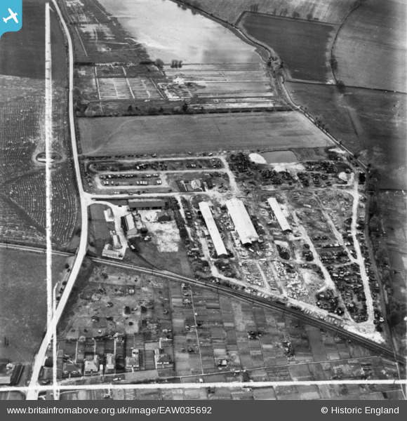
eaw035692 ENGLAND (1951). Engineering Works to the north of Hithercroft Road, Wallingford, 1951. This image has been produced from a print marked by Aerofilms Ltd for photo editing.
© Copyright OpenStreetMap contributors and licensed by the OpenStreetMap Foundation. 2024. Cartography is licensed as CC BY-SA.
Nearby Images (12)
EAW035692

EAW035699

EAW035693

EAW035695

EAW035690

EAW035701

EAW035694

EAW035691

EAW035697

EAW035696

EAW035700

EAW035698

Details
| Title | [EAW035692] Engineering Works to the north of Hithercroft Road, Wallingford, 1951. This image has been produced from a print marked by Aerofilms Ltd for photo editing. |
| Reference | EAW035692 |
| Date | May-1951 |
| Link | |
| Place name | WALLINGFORD |
| Parish | WALLINGFORD |
| District | |
| Country | ENGLAND |
| Easting / Northing | 459921, 189283 |
| Longitude / Latitude | -1.1347824492589, 51.598727136852 |
| National Grid Reference | SU599893 |
Pins
Be the first to add a comment to this image!


