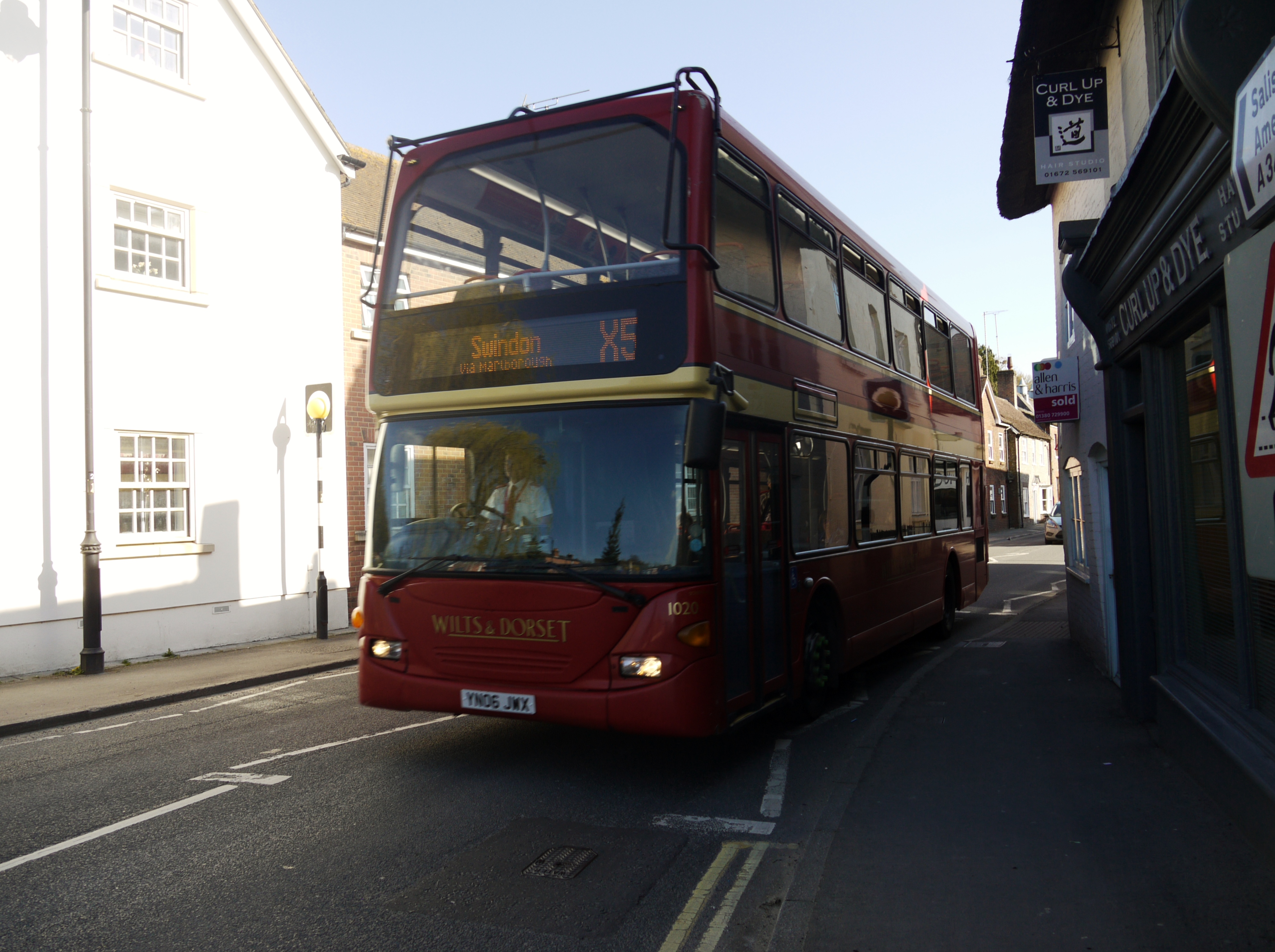
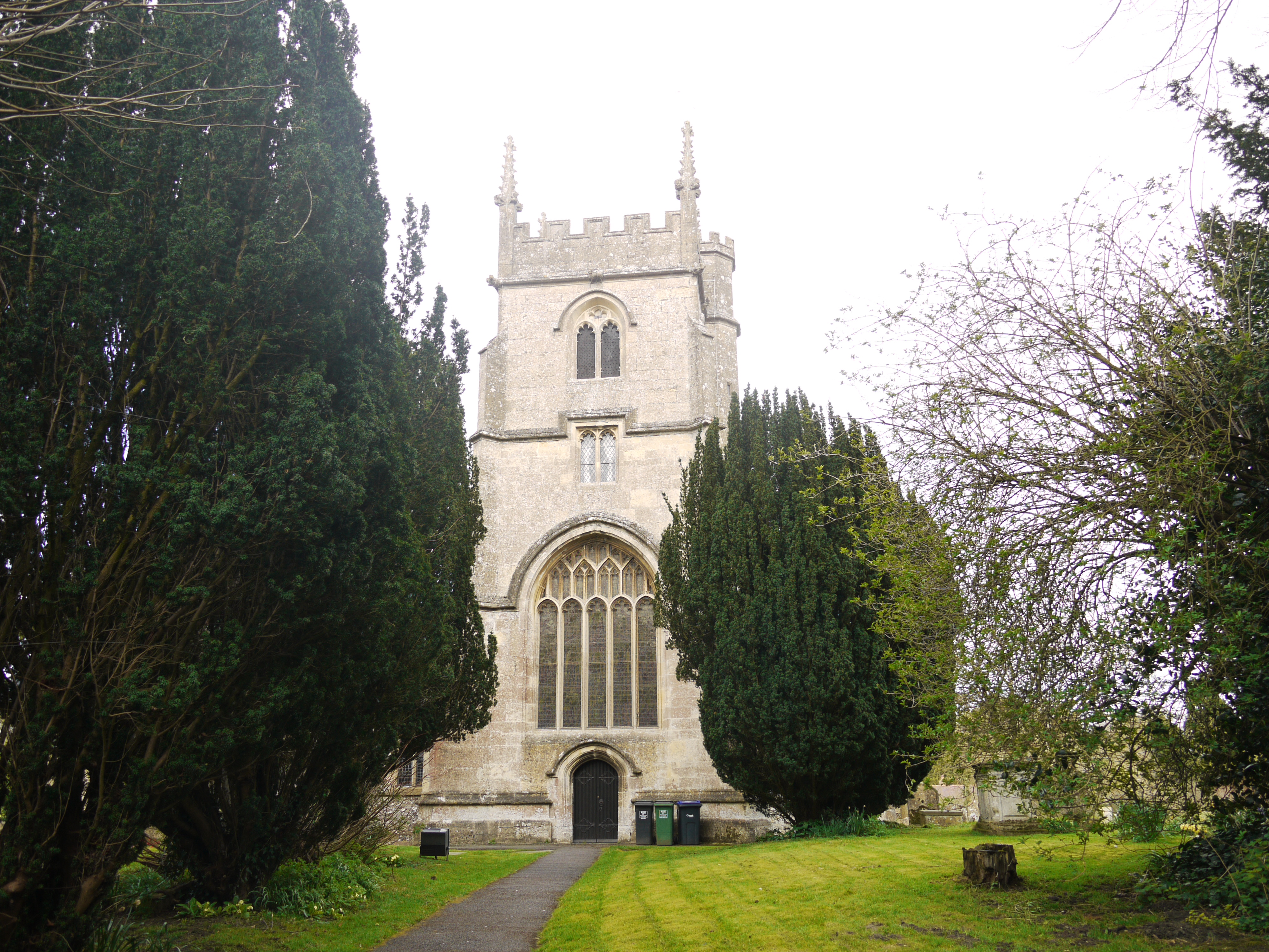
eaw028654 ENGLAND (1950). River Street, Church Street and St John the Baptist's Church, Pewsey, 1950

© Copyright OpenStreetMap contributors and licensed by the OpenStreetMap Foundation. 2024. Cartography is licensed as CC BY-SA.
Nearby Images (4)
EAW028654

EAW028657

EAW028655

EAW028656

Details
| Title | [EAW028654] River Street, Church Street and St John the Baptist's Church, Pewsey, 1950 |
| Reference | EAW028654 |
| Date | 6-April-1950 |
| Link | |
| Place name | PEWSEY |
| Parish | PEWSEY |
| District | |
| Country | ENGLAND |
| Easting / Northing | 416430, 159945 |
| Longitude / Latitude | -1.7641131643413, 51.337854561432 |
| National Grid Reference | SU164599 |
Pins
 Vauni |
Monday 27th of March 2017 02:26:55 PM | |
It looks like an overhanging projection from the Bouverie Hall, maybe some back of stage accomodation |
Moonraker |
Sunday 3rd of May 2020 04:36:08 PM |
Vauni |
Monday 22nd of August 2016 04:40:36 PM | |
Vauni |
Tuesday 19th of July 2016 03:25:12 PM | |
Vauni |
Tuesday 19th of July 2016 03:23:17 PM | |
Vauni |
Tuesday 10th of May 2016 04:28:42 PM | |
Vauni |
Tuesday 24th of February 2015 04:46:12 PM | |
Paolo |
Saturday 21st of June 2014 09:14:59 PM | |
Paolo |
Saturday 21st of June 2014 09:13:58 PM | |
Vauni |
Monday 9th of June 2014 04:45:56 PM | |
Vauni |
Monday 9th of June 2014 04:45:05 PM | |
Vauni |
Monday 9th of June 2014 03:36:13 PM | |
Vauni |
Monday 28th of April 2014 04:14:09 PM | |
Vauni |
Tuesday 25th of March 2014 11:27:36 AM |