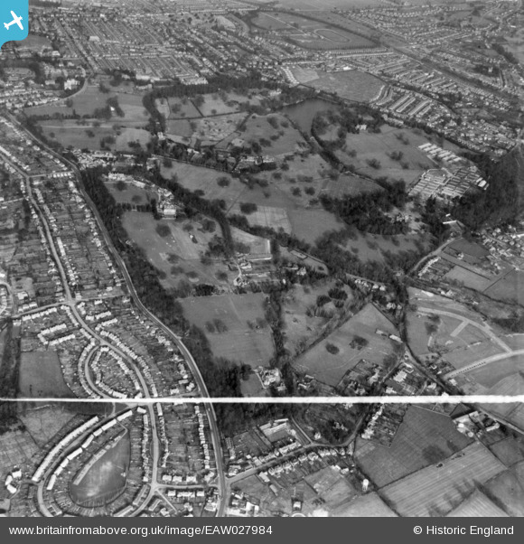
eaw027984 ENGLAND (1950). Whiteknights Park, Reading, 1950. This image has been produced from a print marked by Aerofilms Ltd for photo editing.
© Copyright OpenStreetMap contributors and licensed by the OpenStreetMap Foundation. 2024. Cartography is licensed as CC BY-SA.
Details
| Title | [EAW027984] Whiteknights Park, Reading, 1950. This image has been produced from a print marked by Aerofilms Ltd for photo editing. |
| Reference | EAW027984 |
| Date | 17-February-1950 |
| Link | |
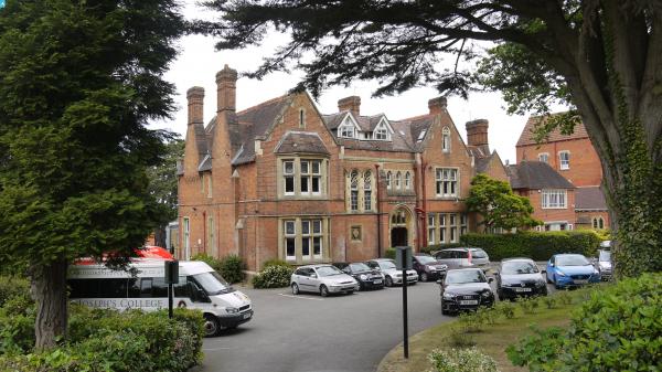
| Place name | READING |
| Parish | |
| District | |
| Country | ENGLAND |
| Easting / Northing | 473491, 171223 |
| Longitude / Latitude | -0.94264062889975, 51.434743191139 |
| National Grid Reference | SU735712 |
Pins
 designking |
Monday 14th of September 2020 11:18:52 PM | |
designking |
Monday 14th of September 2020 11:18:02 PM | |
designking |
Monday 14th of September 2020 11:17:27 PM | |
 Class31 |
Monday 7th of December 2015 10:18:03 AM | |
Class31 |
Monday 7th of December 2015 10:17:13 AM | |
Class31 |
Thursday 11th of June 2015 08:18:22 PM | |
Class31 |
Thursday 11th of June 2015 08:16:06 PM | |
Class31 |
Thursday 11th of June 2015 08:13:28 PM |