
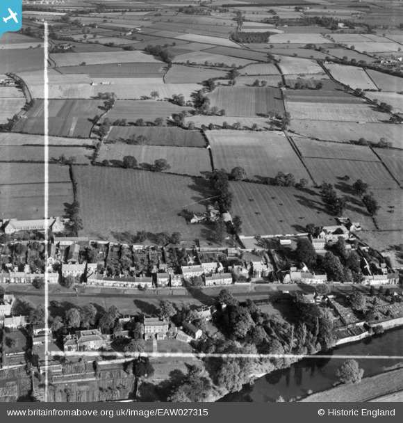
eaw027315 ENGLAND (1949). The village and adjacent fields, Hurworth-on-Tees, 1949. This image has been produced from a print marked by Aerofilms Ltd for photo editing.
© Copyright OpenStreetMap contributors and licensed by the OpenStreetMap Foundation. 2024. Cartography is licensed as CC BY-SA.
Nearby Images (4)
EAW027315

EAW027316

EAW027318

EAW027317

Details
| Title | [EAW027315] The village and adjacent fields, Hurworth-on-Tees, 1949. This image has been produced from a print marked by Aerofilms Ltd for photo editing. |
| Reference | EAW027315 |
| Date | 21-October-1949 |
| Link | |
| Place name | HURWORTH-ON-TEES |
| Parish | HURWORTH |
| District | |
| Country | ENGLAND |
| Easting / Northing | 430650, 510383 |
| Longitude / Latitude | -1.5268194951408, 54.487728078858 |
| National Grid Reference | NZ307104 |
Pins
Be the first to add a comment to this image!


