
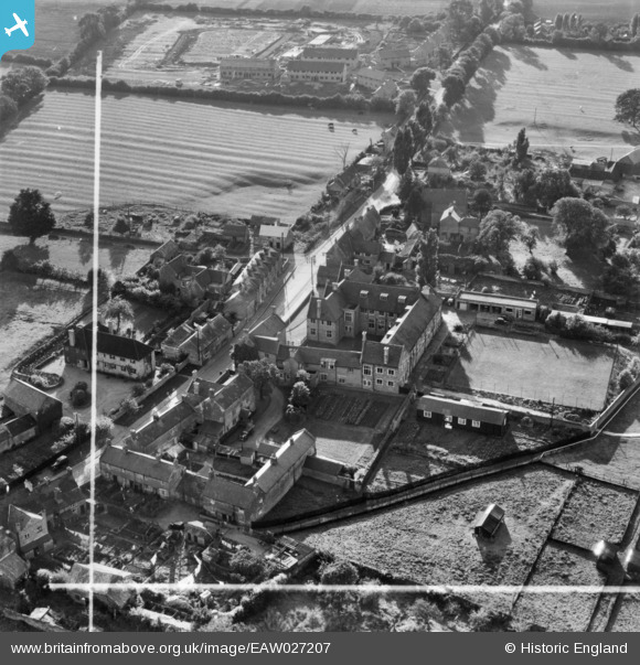
eaw027207 ENGLAND (1949). The Northamptonshire Institute of Agriculture, Moulton, 1949. This image has been produced from a print marked by Aerofilms Ltd for photo editing.
© Copyright OpenStreetMap contributors and licensed by the OpenStreetMap Foundation. 2024. Cartography is licensed as CC BY-SA.
Nearby Images (17)
EAW027207

EAW027205

EAW027209

EAW027211

EAW027208

EAW027210

EAW027206

EAW020356

EAW020346

EAW020355

EAW020344

EAW020347

EAW020349

EAW020345

EAW020348

EAW020357

EAW020358

Details
| Title | [EAW027207] The Northamptonshire Institute of Agriculture, Moulton, 1949. This image has been produced from a print marked by Aerofilms Ltd for photo editing. |
| Reference | EAW027207 |
| Date | 12-October-1949 |
| Link | |
| Place name | MOULTON |
| Parish | MOULTON |
| District | |
| Country | ENGLAND |
| Easting / Northing | 478015, 266354 |
| Longitude / Latitude | -0.85607329593311, 52.289384128796 |
| National Grid Reference | SP780664 |
Pins
Be the first to add a comment to this image!


