
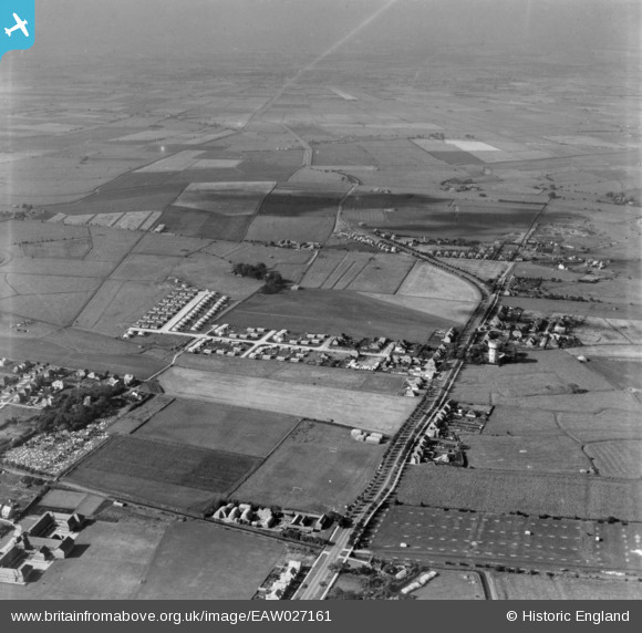
eaw027161 ENGLAND (1949). Burgh Road, Lyndhurst Avenue and the surrounding area, Skegness, from the east, 1949. This image has been produced from a print.
© Copyright OpenStreetMap contributors and licensed by the OpenStreetMap Foundation. 2024. Cartography is licensed as CC BY-SA.
Nearby Images (4)
EAW027161

EAW027159

EAW027158

EAW027162

Details
| Title | [EAW027161] Burgh Road, Lyndhurst Avenue and the surrounding area, Skegness, from the east, 1949. This image has been produced from a print. |
| Reference | EAW027161 |
| Date | 12-October-1949 |
| Link | |
| Place name | SKEGNESS |
| Parish | SKEGNESS |
| District | |
| Country | ENGLAND |
| Easting / Northing | 556000, 364168 |
| Longitude / Latitude | 0.33310664984958, 53.151477753625 |
| National Grid Reference | TF560642 |
Pins
 Chris Kolonko |
Monday 2nd of October 2017 08:42:10 PM |


