
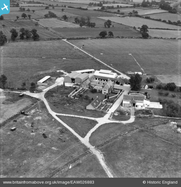
eaw026883 ENGLAND (1949). Farleaze Farm, Hullavington, 1949. This image has been produced from a print.
© Copyright OpenStreetMap contributors and licensed by the OpenStreetMap Foundation. 2024. Cartography is licensed as CC BY-SA.
Nearby Images (5)
EAW026883

EAW026881

EAW026882

EAW026885

EAW026884

Details
| Title | [EAW026883] Farleaze Farm, Hullavington, 1949. This image has been produced from a print. |
| Reference | EAW026883 |
| Date | 2-October-1949 |
| Link | |
| Place name | HULLAVINGTON |
| Parish | HULLAVINGTON |
| District | |
| Country | ENGLAND |
| Easting / Northing | 387029, 183284 |
| Longitude / Latitude | -2.1870815836945, 51.547821089168 |
| National Grid Reference | ST870833 |
Pins
Be the first to add a comment to this image!


