
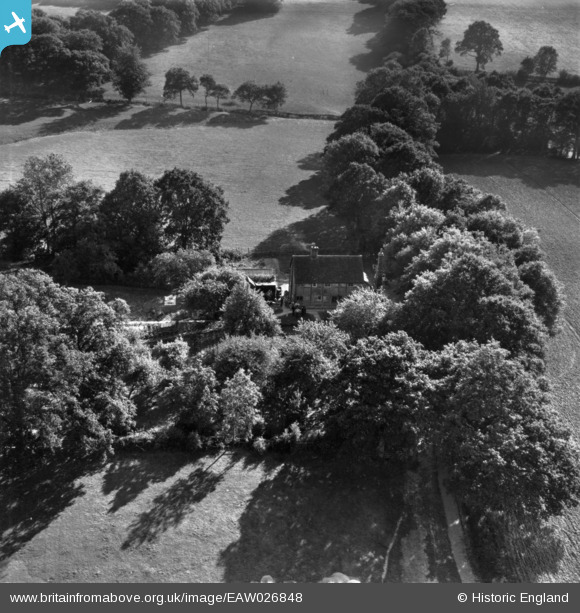
eaw026848 ENGLAND (1949). Gard's, Slaugham, 1949. This image has been produced from a print.
© Copyright OpenStreetMap contributors and licensed by the OpenStreetMap Foundation. 2024. Cartography is licensed as CC BY-SA.
Nearby Images (8)
EAW026848

EAW026849

EAW026842

EAW026843

EAW026844

EAW026847

EAW026845

EAW026846

Details
| Title | [EAW026848] Gard's, Slaugham, 1949. This image has been produced from a print. |
| Reference | EAW026848 |
| Date | 3-October-1949 |
| Link | |
| Place name | SLAUGHAM |
| Parish | SLAUGHAM |
| District | |
| Country | ENGLAND |
| Easting / Northing | 524161, 127372 |
| Longitude / Latitude | -0.22912146695064, 51.031745413774 |
| National Grid Reference | TQ242274 |
Pins
Be the first to add a comment to this image!


