
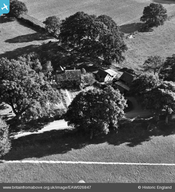
eaw026847 ENGLAND (1949). Denman's Farm, Slaugham, 1949. This image has been produced from a print marked by Aerofilms Ltd for photo editing.
© Copyright OpenStreetMap contributors and licensed by the OpenStreetMap Foundation. 2024. Cartography is licensed as CC BY-SA.
Nearby Images (6)
EAW026847

EAW026845

EAW026846

EAW026842

EAW026848

EAW026849

Details
| Title | [EAW026847] Denman's Farm, Slaugham, 1949. This image has been produced from a print marked by Aerofilms Ltd for photo editing. |
| Reference | EAW026847 |
| Date | 3-October-1949 |
| Link | |
| Place name | SLAUGHAM |
| Parish | SLAUGHAM |
| District | |
| Country | ENGLAND |
| Easting / Northing | 524282, 127588 |
| Longitude / Latitude | -0.22732246241446, 51.033660861949 |
| National Grid Reference | TQ243276 |
Pins
Be the first to add a comment to this image!


