
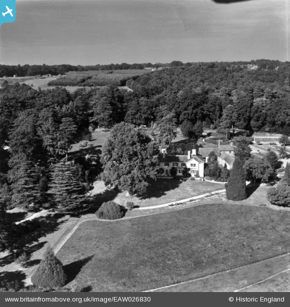
eaw026830 ENGLAND (1949). Slaugham Park, Slaugham, from the south, 1949. This image has been produced from a print.
© Copyright OpenStreetMap contributors and licensed by the OpenStreetMap Foundation. 2024. Cartography is licensed as CC BY-SA.
Nearby Images (2)
EAW026830

EAW026831

Details
| Title | [EAW026830] Slaugham Park, Slaugham, from the south, 1949. This image has been produced from a print. |
| Reference | EAW026830 |
| Date | 3-October-1949 |
| Link | |
| Place name | SLAUGHAM |
| Parish | SLAUGHAM |
| District | |
| Country | ENGLAND |
| Easting / Northing | 525859, 128650 |
| Longitude / Latitude | -0.20447187241925, 51.042863694841 |
| National Grid Reference | TQ259287 |
Pins
Be the first to add a comment to this image!


