
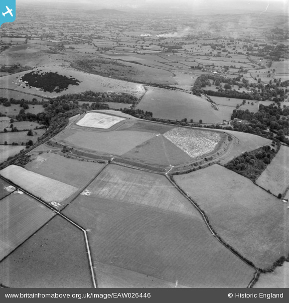
eaw026446 ENGLAND (1949). Hod Hill Camp and Lydsbury Rings, Hod Hill, from the south, 1949
© Copyright OpenStreetMap contributors and licensed by the OpenStreetMap Foundation. 2024. Cartography is licensed as CC BY-SA.
Nearby Images (2)
EAW026446

EAW026447

Details
| Title | [EAW026446] Hod Hill Camp and Lydsbury Rings, Hod Hill, from the south, 1949 |
| Reference | EAW026446 |
| Date | 8-September-1949 |
| Link | |
| Place name | HOD HILL |
| Parish | STOURPAINE |
| District | |
| Country | ENGLAND |
| Easting / Northing | 385745, 110267 |
| Longitude / Latitude | -2.2026963496567, 50.891156865995 |
| National Grid Reference | ST857103 |
Pins
 David960 |
Friday 6th of February 2015 05:46:26 PM |


