
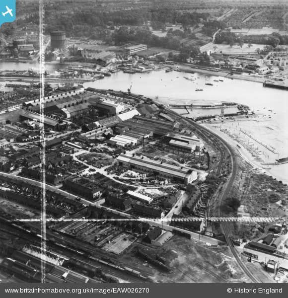
eaw026270 ENGLAND (1949). The Eagle Works and environs, Ipswich, 1949. This image has been produced from a print marked by Aerofilms Ltd for photo editing.
© Copyright OpenStreetMap contributors and licensed by the OpenStreetMap Foundation. 2024. Cartography is licensed as CC BY-SA.
Nearby Images (24)
EAW026270

EAW025111

EAW026267

EAW026272

EAW026269

EAW026265

EAW025112

EAW025115

EAW025109

EAW025114

EAW025113

EAW024669

EPW041401

EAW024670

EAW025110

EAW025108

EAW026271

EAW026266

EAW026273

EAW026268

EPW024986

EPW032851

EPW001826

EPW024976

Details
| Title | [EAW026270] The Eagle Works and environs, Ipswich, 1949. This image has been produced from a print marked by Aerofilms Ltd for photo editing. |
| Reference | EAW026270 |
| Date | 19-August-1949 |
| Link | |
| Place name | IPSWICH |
| Parish | |
| District | |
| Country | ENGLAND |
| Easting / Northing | 616542, 243137 |
| Longitude / Latitude | 1.1580420339761, 52.043841231711 |
| National Grid Reference | TM165431 |


