
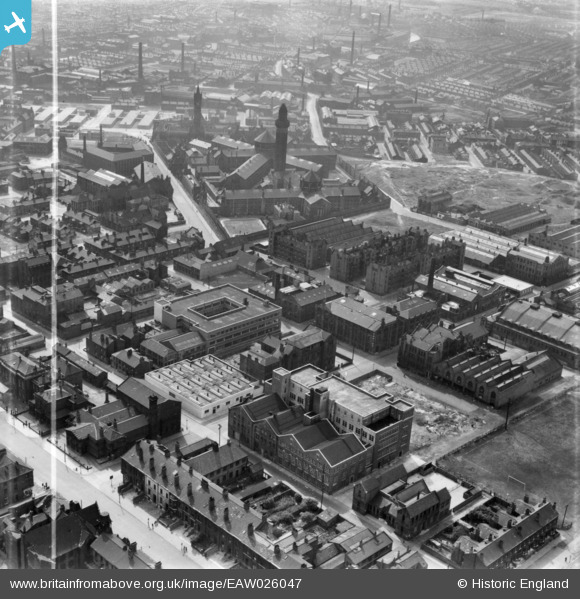
eaw026047 ENGLAND (1949). Derby Street and environs, Strangeways, 1949. This image has been produced from a print marked by Aerofilms Ltd for photo editing.
© Copyright OpenStreetMap contributors and licensed by the OpenStreetMap Foundation. 2024. Cartography is licensed as CC BY-SA.
Nearby Images (6)
EAW026047

EAW026049

EAW026050

EAW026052

EAW026048

EAW026051

Details
| Title | [EAW026047] Derby Street and environs, Strangeways, 1949. This image has been produced from a print marked by Aerofilms Ltd for photo editing. |
| Reference | EAW026047 |
| Date | 14-August-1949 |
| Link | |
| Place name | STRANGEWAYS |
| Parish | |
| District | |
| Country | ENGLAND |
| Easting / Northing | 384017, 399761 |
| Longitude / Latitude | -2.2409425027881, 53.494060662119 |
| National Grid Reference | SJ840998 |
Pins
 Gary |
Sunday 6th of February 2022 02:16:12 PM | |
Gary |
Sunday 6th of February 2022 02:13:19 PM | |
Gary |
Sunday 6th of February 2022 02:10:01 PM | |
Gary |
Sunday 6th of February 2022 02:07:53 PM | |
leekst |
Wednesday 21st of September 2016 06:19:37 PM | |
stardelta |
Monday 12th of January 2015 11:13:14 PM |


