
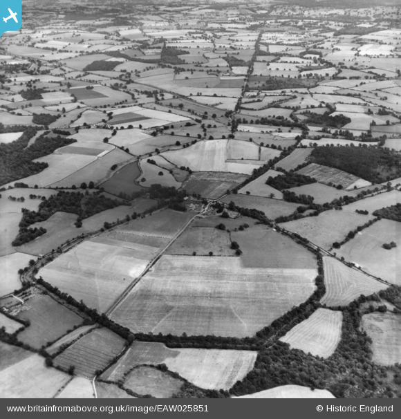
eaw025851 ENGLAND (1949). The site of Calleva Atrebatum Roman town, Silchester, 1949. This image has been produced from a print.
© Copyright OpenStreetMap contributors and licensed by the OpenStreetMap Foundation. 2024. Cartography is licensed as CC BY-SA.
Nearby Images (2)
EAW025851

EAW025847

Details
| Title | [EAW025851] The site of Calleva Atrebatum Roman town, Silchester, 1949. This image has been produced from a print. |
| Reference | EAW025851 |
| Date | 10-August-1949 |
| Link | |
| Place name | SILCHESTER |
| Parish | SILCHESTER |
| District | |
| Country | ENGLAND |
| Easting / Northing | 464446, 162467 |
| Longitude / Latitude | -1.0743473669855, 51.357115115644 |
| National Grid Reference | SU644625 |
Pins
 gBr |
Tuesday 19th of January 2016 08:57:06 PM |


