
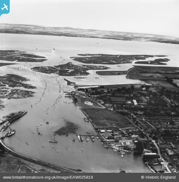
eaw025819 ENGLAND (1949). the mouth of the Lymington River, Lymington, from the north, 1949. This image has been produced from a print.
© Copyright OpenStreetMap contributors and licensed by the OpenStreetMap Foundation. 2024. Cartography is licensed as CC BY-SA.
Nearby Images (16)
EAW025819

EAW025813

EPW022933

EAW025811

EAW025809

EAW025810

EAW025816

EAW025817

EAW025815

EPW022935

EAW025818

EAW025812

EAW025814

EPW022930

EPW013646

EPW022937

Details
| Title | [EAW025819] the mouth of the Lymington River, Lymington, from the north, 1949. This image has been produced from a print. |
| Reference | EAW025819 |
| Date | 10-August-1949 |
| Link | |
| Place name | LYMINGTON |
| Parish | LYMINGTON AND PENNINGTON |
| District | |
| Country | ENGLAND |
| Easting / Northing | 433044, 95428 |
| Longitude / Latitude | -1.5314812885262, 50.756936529675 |
| National Grid Reference | SZ330954 |
Pins
Be the first to add a comment to this image!


