
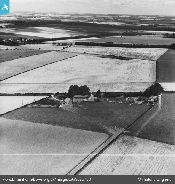
eaw025783 ENGLAND (1949). Beeches Farm, Crawley, from the south-west, 1949. This image has been produced from a print marked by Aerofilms Ltd for photo editing.
© Copyright OpenStreetMap contributors and licensed by the OpenStreetMap Foundation. 2024. Cartography is licensed as CC BY-SA.
Nearby Images (2)
EAW025783

EAW025784

Details
| Title | [EAW025783] Beeches Farm, Crawley, from the south-west, 1949. This image has been produced from a print marked by Aerofilms Ltd for photo editing. |
| Reference | EAW025783 |
| Date | 10-August-1949 |
| Link | |
| Place name | CRAWLEY |
| Parish | CRAWLEY |
| District | |
| Country | ENGLAND |
| Easting / Northing | 443733, 133965 |
| Longitude / Latitude | -1.3753092540862, 51.102786903642 |
| National Grid Reference | SU437340 |
Pins
Be the first to add a comment to this image!


