
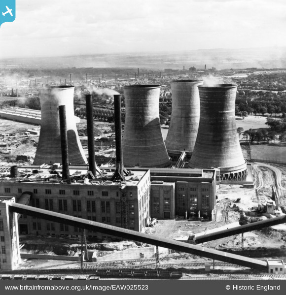
eaw025523 ENGLAND (1949). Walsall B Power Station, Walsall, from the north, 1949. This image has been produced from a print.
© Copyright OpenStreetMap contributors and licensed by the OpenStreetMap Foundation. 2024. Cartography is licensed as CC BY-SA.
Nearby Images (48)
EAW025523

EAW017213

EAW020821

EAW020823

EAW025504

EAW017216

EAW008396

EAW008397

EAW008393

EAW017211

EAW025525

EAW017220

EAW025508

EAW025517

EAW020828

EAW017212

EAW020827

EAW008391

EAW008392

EAW008399

EAW017219
, Walsall, 1948. This image has been produced from a damaged negative.")
EAW020818

EAW017218

EAW008398

EAW020832

EAW017215

EAW025507

EAW008402

EAW020831

EAW025516

EAW020826

EAW008400

EAW020830

EAW025503

EAW020824

EAW012898

EAW013443

EAW025512

EAW020817

EAW020815

EAW008401

EAW013444

EAW012899

EAW025515

EAW017210

EAW020816

EAW017217

EAW025510

Details
| Title | [EAW025523] Walsall B Power Station, Walsall, from the north, 1949. This image has been produced from a print. |
| Reference | EAW025523 |
| Date | 3-August-1949 |
| Link | |
| Place name | WALSALL |
| Parish | |
| District | |
| Country | ENGLAND |
| Easting / Northing | 400099, 299875 |
| Longitude / Latitude | -1.9985382731965, 52.596313424597 |
| National Grid Reference | SP001999 |
Pins
Be the first to add a comment to this image!


