
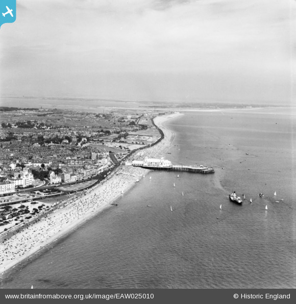
eaw025010 ENGLAND (1949). South Parade Pier, the seafront and environs, Southsea, from the south-west, 1949. This image has been produced from a print.
© Copyright OpenStreetMap contributors and licensed by the OpenStreetMap Foundation. 2024. Cartography is licensed as CC BY-SA.
Nearby Images (11)
EAW025010

EAW025012

EAW025018

EPW024693

EAW025009

EPW024690

EAW025007

EPW024692

EPW024689

EPW039677

EPW024691

Details
| Title | [EAW025010] South Parade Pier, the seafront and environs, Southsea, from the south-west, 1949. This image has been produced from a print. |
| Reference | EAW025010 |
| Date | 23-July-1949 |
| Link | |
| Place name | SOUTHSEA |
| Parish | SOUTHSEA |
| District | |
| Country | ENGLAND |
| Easting / Northing | 464987, 97999 |
| Longitude / Latitude | -1.0781661551677, 50.777357632501 |
| National Grid Reference | SZ650980 |
Pins
Be the first to add a comment to this image!


