
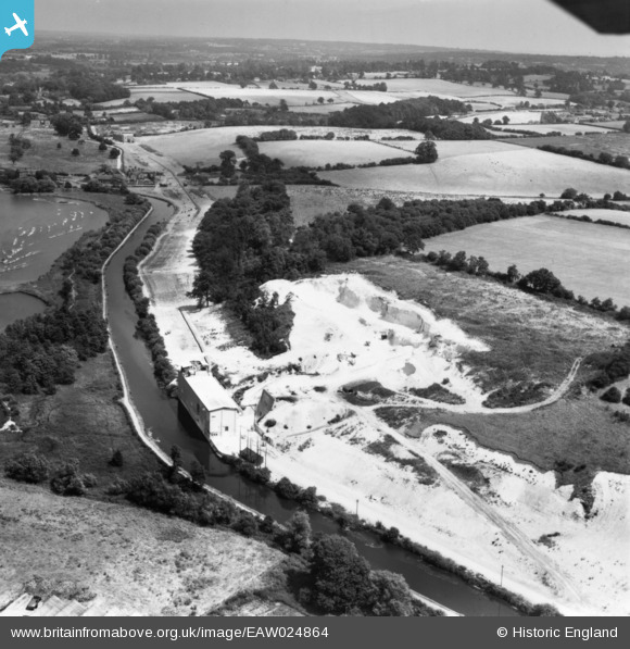
eaw024864 ENGLAND (1949). Works at the Springwell Chalk Quarry, the Grand Union Canal and the surrounding countryside, Harefield, from the west, 1949. This image has been produced from a print.
© Copyright OpenStreetMap contributors and licensed by the OpenStreetMap Foundation. 2024. Cartography is licensed as CC BY-SA.
Nearby Images (13)
EAW024864

EAW024863

EAW024872

EAW024871

EAW024865

EAW024868

EAW024869

EAW024866

EAW024870

EAW024873

EAW024861

EAW024867

EAW024862

Details
| Title | [EAW024864] Works at the Springwell Chalk Quarry, the Grand Union Canal and the surrounding countryside, Harefield, from the west, 1949. This image has been produced from a print. |
| Reference | EAW024864 |
| Date | 15-July-1949 |
| Link | |
| Place name | HAREFIELD |
| Parish | |
| District | |
| Country | ENGLAND |
| Easting / Northing | 504494, 193105 |
| Longitude / Latitude | -0.49022884152166, 51.626577545555 |
| National Grid Reference | TQ045931 |


