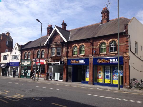
eaw024760 ENGLAND (1949). The town centre, Epsom, 1949

© Copyright OpenStreetMap contributors and licensed by the OpenStreetMap Foundation. 2024. Cartography is licensed as CC BY-SA.
Nearby Images (18)
EAW024760

EPW025146

EPW048877

EPW025143

EPW025262

EPW057024

EPW006487

EPW048876

EAW024762

EPW057023

EPW025148

EPW048879

EPW006486

EPW006480

EPW048878

EPW007916

EPW025153

EPW006492

Details
| Title | [EAW024760] The town centre, Epsom, 1949 |
| Reference | EAW024760 |
| Date | 12-July-1949 |
| Link | |
| Place name | EPSOM |
| Parish | |
| District | |
| Country | ENGLAND |
| Easting / Northing | 520863, 160838 |
| Longitude / Latitude | -0.26487633795052, 51.333270915103 |
| National Grid Reference | TQ209608 |
Pins
 Class31 |
Tuesday 21st of June 2016 07:46:30 AM | |
Class31 |
Monday 20th of June 2016 10:53:15 PM | |
 EasyLuckyFree |
Thursday 5th of February 2015 11:01:47 AM | |
EasyLuckyFree |
Thursday 5th of February 2015 11:00:05 AM |