
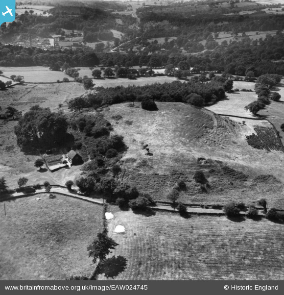
eaw024745 ENGLAND (1949). Beelow Hill, Farley, 1949. This image has been produced from a print.
© Copyright OpenStreetMap contributors and licensed by the OpenStreetMap Foundation. 2024. Cartography is licensed as CC BY-SA.
Nearby Images (3)
EAW024745

EAW024743

EAW024744

Details
| Title | [EAW024745] Beelow Hill, Farley, 1949. This image has been produced from a print. |
| Reference | EAW024745 |
| Date | 11-July-1949 |
| Link | |
| Place name | FARLEY |
| Parish | FARLEY |
| District | |
| Country | ENGLAND |
| Easting / Northing | 406501, 344906 |
| Longitude / Latitude | -1.9031178645933, 53.001126208466 |
| National Grid Reference | SK065449 |
Pins
Be the first to add a comment to this image!


