
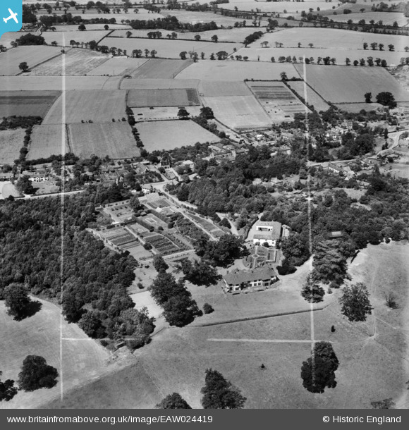
eaw024419 ENGLAND (1949). Brooke House and the village, Brooke, 1949. This image was marked by Aerofilms Ltd for photo editing.
© Copyright OpenStreetMap contributors and licensed by the OpenStreetMap Foundation. 2024. Cartography is licensed as CC BY-SA.
Nearby Images (3)
EAW024419

EAW024417

EAW024418

Details
| Title | [EAW024419] Brooke House and the village, Brooke, 1949. This image was marked by Aerofilms Ltd for photo editing. |
| Reference | EAW024419 |
| Date | 6-July-1949 |
| Link | |
| Place name | BROOKE |
| Parish | BROOKE |
| District | |
| Country | ENGLAND |
| Easting / Northing | 628878, 299008 |
| Longitude / Latitude | 1.3755752037153, 52.540376603405 |
| National Grid Reference | TM289990 |
Pins
Be the first to add a comment to this image!


