
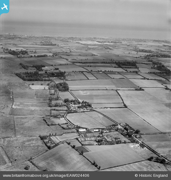
eaw024406 ENGLAND (1949). The village, Burgh Castle, from the north-west, 1949
© Copyright OpenStreetMap contributors and licensed by the OpenStreetMap Foundation. 2024. Cartography is licensed as CC BY-SA.
Details
| Title | [EAW024406] The village, Burgh Castle, from the north-west, 1949 |
| Reference | EAW024406 |
| Date | 6-July-1949 |
| Link | |
| Place name | BURGH CASTLE |
| Parish | BURGH CASTLE |
| District | |
| Country | ENGLAND |
| Easting / Northing | 648151, 305253 |
| Longitude / Latitude | 1.6638862562114, 52.587971610189 |
| National Grid Reference | TG482053 |
Pins
 John Frosdick |
Thursday 26th of February 2015 12:05:19 PM | |
GWRMAD |
Thursday 20th of February 2014 05:40:28 PM | |
It is a bit further South. |
John Frosdick |
Thursday 26th of February 2015 11:55:57 AM |


