
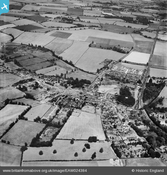
eaw024384 ENGLAND (1949). The town, Clare, from the west, 1949
© Copyright OpenStreetMap contributors and licensed by the OpenStreetMap Foundation. 2024. Cartography is licensed as CC BY-SA.
Nearby Images (6)
EAW024384

EAW024383

EAW048836

EAW048835

EAW024386

EAW024385

Details
| Title | [EAW024384] The town, Clare, from the west, 1949 |
| Reference | EAW024384 |
| Date | 6-July-1949 |
| Link | |
| Place name | CLARE |
| Parish | CLARE |
| District | |
| Country | ENGLAND |
| Easting / Northing | 576801, 245322 |
| Longitude / Latitude | 0.58029868348455, 52.077570112809 |
| National Grid Reference | TL768453 |
Pins
Be the first to add a comment to this image!


