
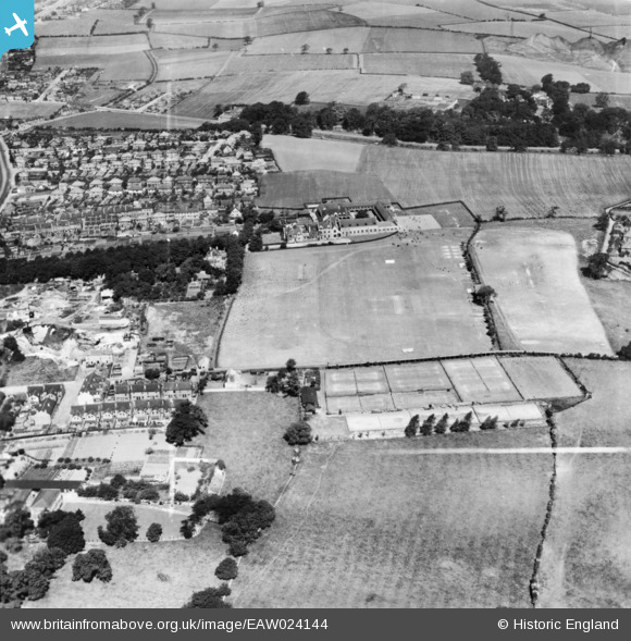
eaw024144 ENGLAND (1949). Queen Elizabeth's Grammar School (Boys) and environs, Mansfield, 1949. This image has been produced from a print marked by Aerofilms Ltd for photo editing.
© Copyright OpenStreetMap contributors and licensed by the OpenStreetMap Foundation. 2024. Cartography is licensed as CC BY-SA.
Nearby Images (8)
EAW024144
 and environs, Mansfield, 1949. This image has been produced from a print marked by Aerofilms Ltd for photo editing.")
EAW024143
 and environs, Mansfield, 1949. This image has been produced from a print marked by Aerofilms Ltd for photo editing.")
EAW024145
, Mansfield, from the south-east, 1949. This image has been produced from a print marked by Aerofilms Ltd for photo editing.")
EAW028615
 and Sports Ground, Mansfield Woodhouse, 1950. This image was marked by Aerofilms Ltd for photo editing.")
EAW028616
 and Sports Ground, Mansfield Woodhouse, 1950. This image was marked by Aerofilms Ltd for photo editing.")
EAW028617
, Mansfield Woodhouse, 1950. This image was marked by Aerofilms Ltd for photo editing.")
EAW024142
, Mansfield, from the north-east, 1949. This image has been produced from a damaged negative.")
EAW028618
, Mansfield Woodhouse, 1950")
Details
| Title | [EAW024144] Queen Elizabeth's Grammar School (Boys) and environs, Mansfield, 1949. This image has been produced from a print marked by Aerofilms Ltd for photo editing. |
| Reference | EAW024144 |
| Date | 22-June-1949 |
| Link | |
| Place name | MANSFIELD |
| Parish | |
| District | |
| Country | ENGLAND |
| Easting / Northing | 453357, 362227 |
| Longitude / Latitude | -1.2020066419034, 53.154209928111 |
| National Grid Reference | SK534622 |
Pins
Be the first to add a comment to this image!


