
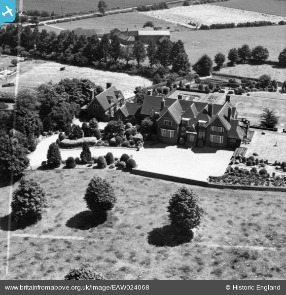
eaw024068 ENGLAND (1949). The Berrystead, Syston, 1949. This image has been produced from a print marked by Aerofilms Ltd for photo editing.
© Copyright OpenStreetMap contributors and licensed by the OpenStreetMap Foundation. 2024. Cartography is licensed as CC BY-SA.
Nearby Images (10)
EAW024068

EAW024072

EAW024067

EAW024069

EAW024070

EAW024071

EAW024075

EAW024073

EAW024077

EAW024074

Details
| Title | [EAW024068] The Berrystead, Syston, 1949. This image has been produced from a print marked by Aerofilms Ltd for photo editing. |
| Reference | EAW024068 |
| Date | 21-June-1949 |
| Link | |
| Place name | SYSTON |
| Parish | SYSTON |
| District | |
| Country | ENGLAND |
| Easting / Northing | 461679, 310472 |
| Longitude / Latitude | -1.0873966170865, 52.688075866083 |
| National Grid Reference | SK617105 |
Pins
Be the first to add a comment to this image!


