
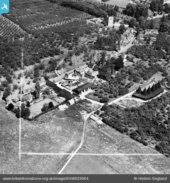
eaw023964 ENGLAND (1949). St Leonards Farm, West Malling, 1949. This image has been produced from a print marked by Aerofilms Ltd for photo editing.
© Copyright OpenStreetMap contributors and licensed by the OpenStreetMap Foundation. 2024. Cartography is licensed as CC BY-SA.
Nearby Images (6)
EAW023964

EAW023962

EAW023963

EAW023967

EAW023965

EAW023966

Details
| Title | [EAW023964] St Leonards Farm, West Malling, 1949. This image has been produced from a print marked by Aerofilms Ltd for photo editing. |
| Reference | EAW023964 |
| Date | 23-June-1949 |
| Link | |
| Place name | WEST MALLING |
| Parish | WEST MALLING |
| District | |
| Country | ENGLAND |
| Easting / Northing | 567542, 156808 |
| Longitude / Latitude | 0.40281498710517, 51.285224405485 |
| National Grid Reference | TQ675568 |
Pins
Be the first to add a comment to this image!


