
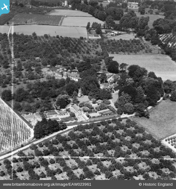
eaw023961 ENGLAND (1949). New Barns, West Malling, 1949. This image has been produced from a print marked by Aerofilms Ltd for photo editing.
© Copyright OpenStreetMap contributors and licensed by the OpenStreetMap Foundation. 2024. Cartography is licensed as CC BY-SA.
Nearby Images (5)
EAW023961

EAW023960

EAW023957

EAW023959

EAW023958

Details
| Title | [EAW023961] New Barns, West Malling, 1949. This image has been produced from a print marked by Aerofilms Ltd for photo editing. |
| Reference | EAW023961 |
| Date | 23-June-1949 |
| Link | |
| Place name | WEST MALLING |
| Parish | WEST MALLING |
| District | |
| Country | ENGLAND |
| Easting / Northing | 568390, 156612 |
| Longitude / Latitude | 0.41487266649121, 51.283213282131 |
| National Grid Reference | TQ684566 |
Pins
Be the first to add a comment to this image!


