
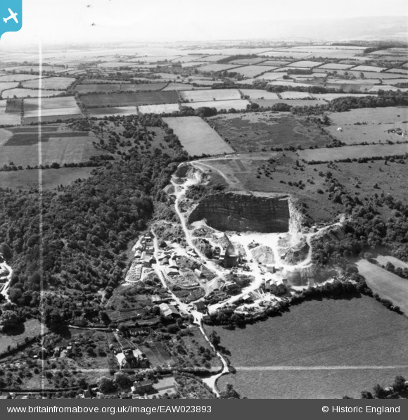
eaw023893 ENGLAND (1949). Coles Stone Quarry, Backwell, from the north-west, 1949. This image has been produced from a print marked by Aerofilms Ltd for photo editing.
© Copyright OpenStreetMap contributors and licensed by the OpenStreetMap Foundation. 2024. Cartography is licensed as CC BY-SA.
Nearby Images (20)
EAW023893

EAW023897

EAW023896

EAW023895

EAW023890

EAW023898

EPW058930

EPW058931

EPW058935

EPW058929

EAW015775

EAW015774

EPW058933

EAW015778

EPW058932

EPW058934

EAW023894

EAW038216

EAW015777

EAW015771

Details
| Title | [EAW023893] Coles Stone Quarry, Backwell, from the north-west, 1949. This image has been produced from a print marked by Aerofilms Ltd for photo editing. |
| Reference | EAW023893 |
| Date | 14-June-1949 |
| Link | |
| Place name | BACKWELL |
| Parish | BACKWELL |
| District | |
| Country | ENGLAND |
| Easting / Northing | 349087, 168024 |
| Longitude / Latitude | -2.7320911668185, 51.408457788959 |
| National Grid Reference | ST491680 |
Pins
Be the first to add a comment to this image!


