
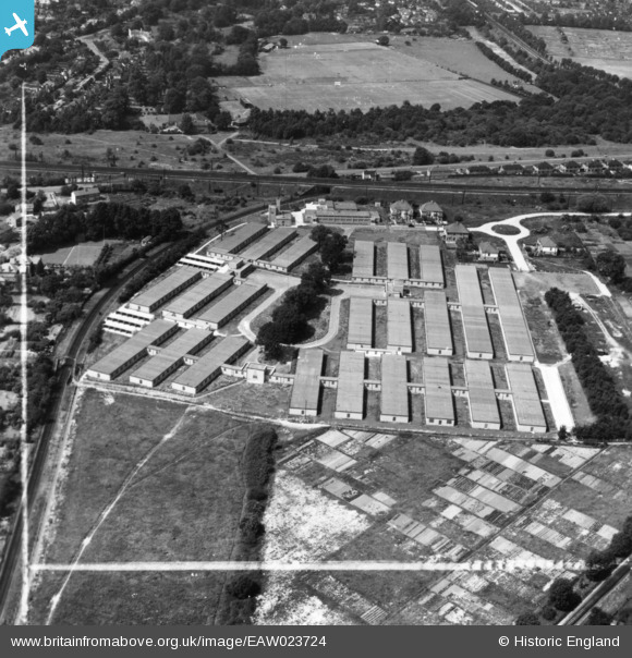
eaw023724 ENGLAND (1949). Government Office Buildings, Hinchley Wood, 1949. This image has been produced from a print marked by Aerofilms Ltd for photo editing.
© Copyright OpenStreetMap contributors and licensed by the OpenStreetMap Foundation. 2024. Cartography is licensed as CC BY-SA.
Nearby Images (7)
EAW023724

EAW023723

EAW023720

EAW023721

EAW023718

EAW023719

EAW023722

Details
| Title | [EAW023724] Government Office Buildings, Hinchley Wood, 1949. This image has been produced from a print marked by Aerofilms Ltd for photo editing. |
| Reference | EAW023724 |
| Date | 12-June-1949 |
| Link | |
| Place name | HINCHLEY WOOD |
| Parish | |
| District | |
| Country | ENGLAND |
| Easting / Northing | 515643, 165770 |
| Longitude / Latitude | -0.3381769981007, 51.3786902448 |
| National Grid Reference | TQ156658 |


