
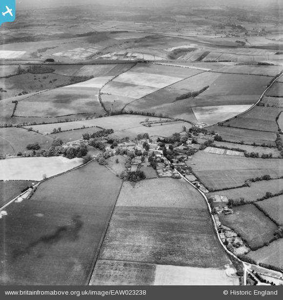
eaw023238 ENGLAND (1949). The village, Ashmore, 1949
© Copyright OpenStreetMap contributors and licensed by the OpenStreetMap Foundation. 2024. Cartography is licensed as CC BY-SA.
Nearby Images (5)
EAW023238

EAW023239

EAW023240

EAW023237

EAW023236

Details
| Title | [EAW023238] The village, Ashmore, 1949 |
| Reference | EAW023238 |
| Date | 19-May-1949 |
| Link | |
| Place name | ASHMORE |
| Parish | ASHMORE |
| District | |
| Country | ENGLAND |
| Easting / Northing | 391206, 117856 |
| Longitude / Latitude | -2.1252280232511, 50.959516550055 |
| National Grid Reference | ST912179 |
Pins
Be the first to add a comment to this image!
User Comment Contributions
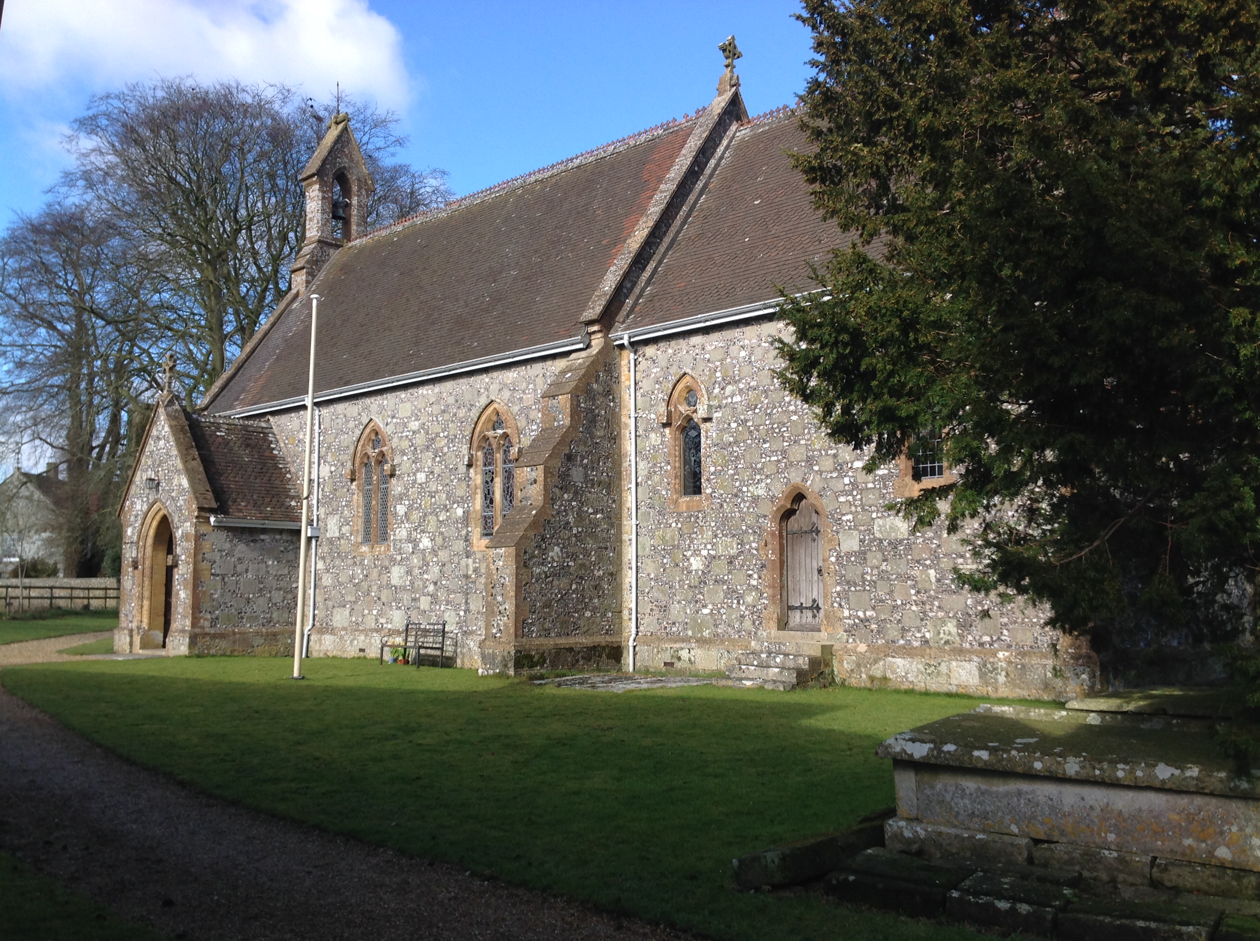 St. Nicholas' Church, Ashmore, 21/02/2015 |
 Class31 |
Sunday 22nd of February 2015 04:55:01 PM |
 St. Nicholas' Church, Ashmore, 21/02/2015 |
Class31 |
Sunday 22nd of February 2015 04:54:10 PM |
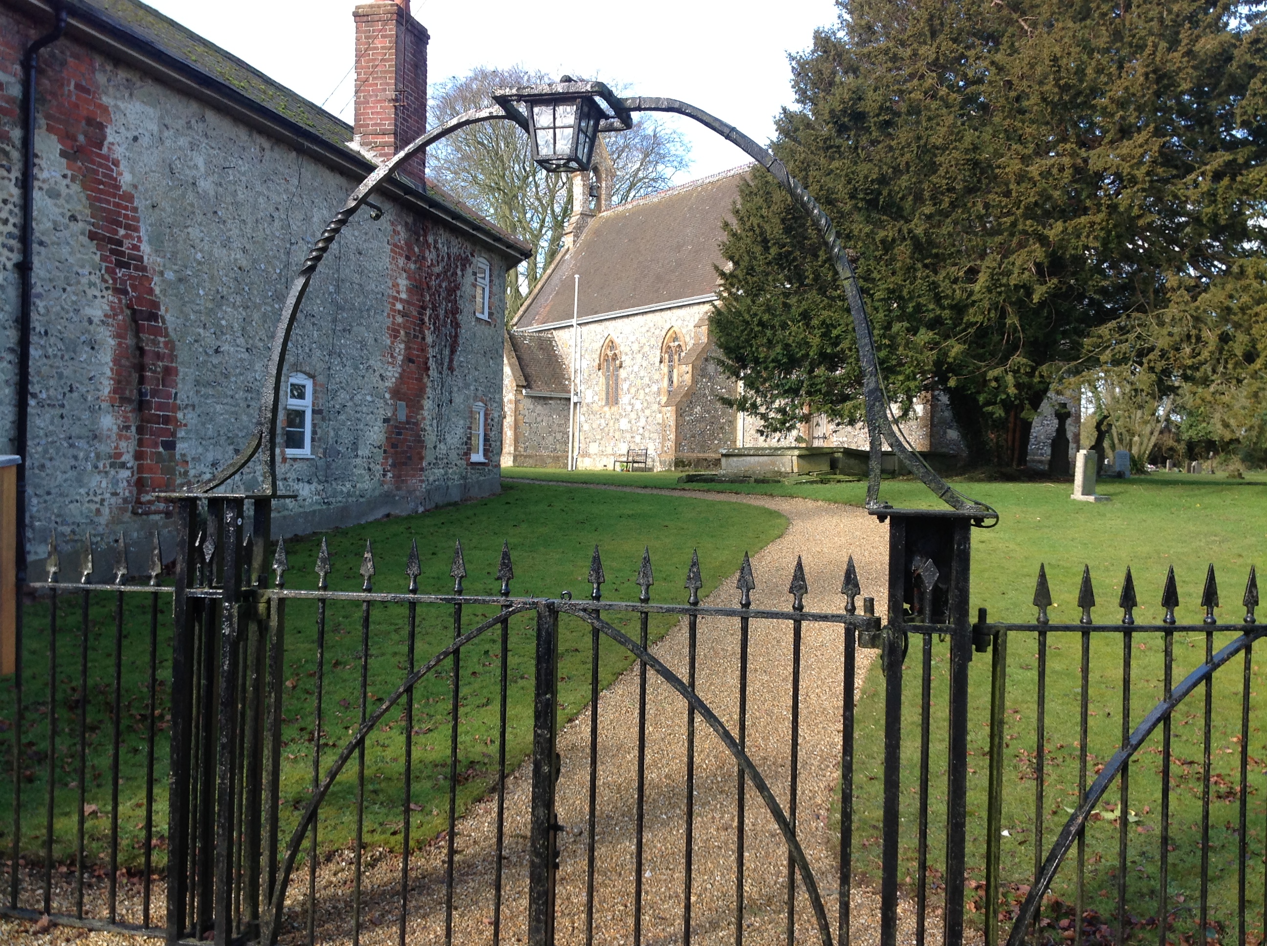
 Ashmore, 21/02/2015 |
Class31 |
Sunday 22nd of February 2015 04:53:31 PM |
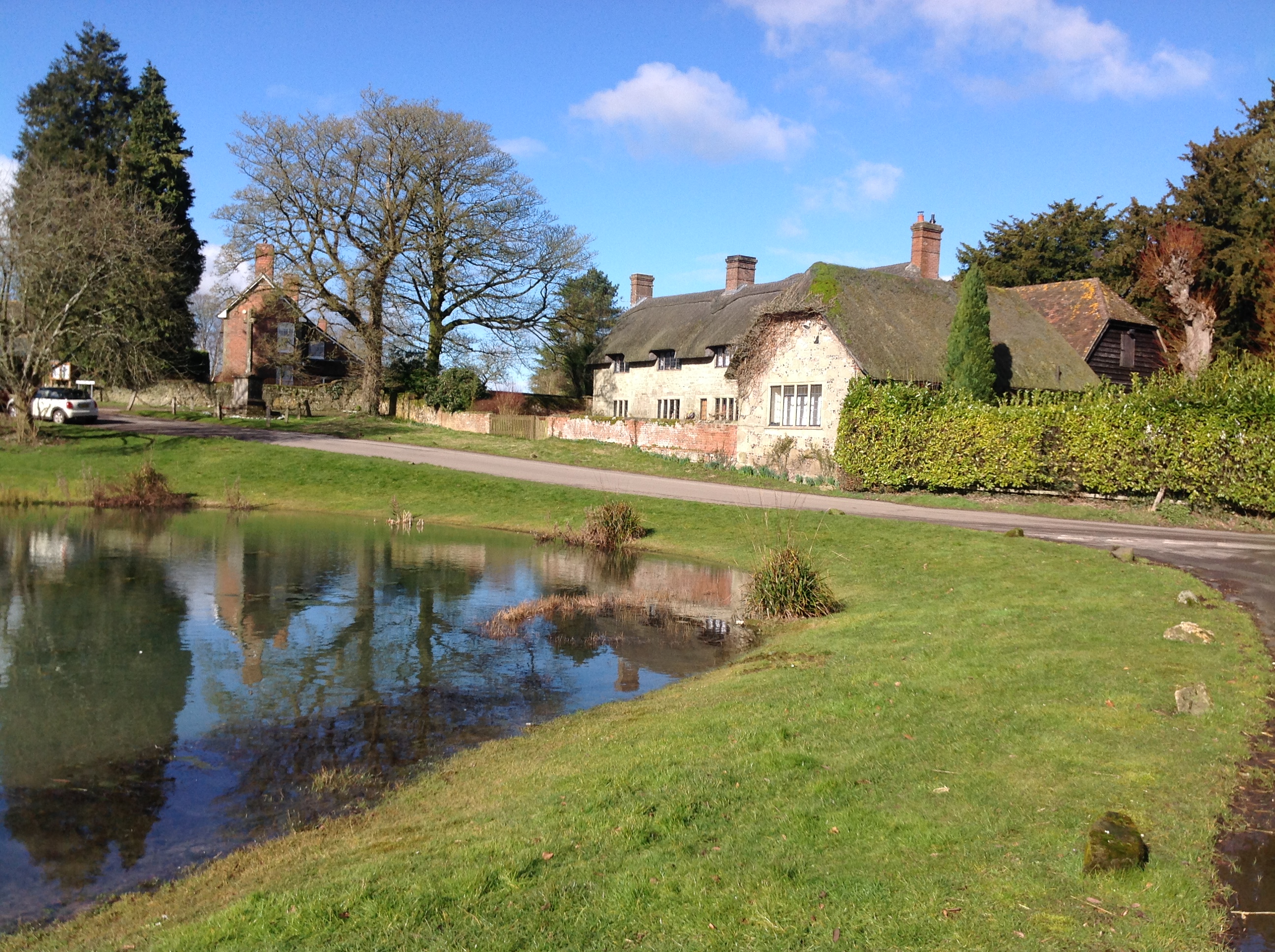 Ashmore Pond, 21/02/2015 |
Class31 |
Sunday 22nd of February 2015 04:52:31 PM |
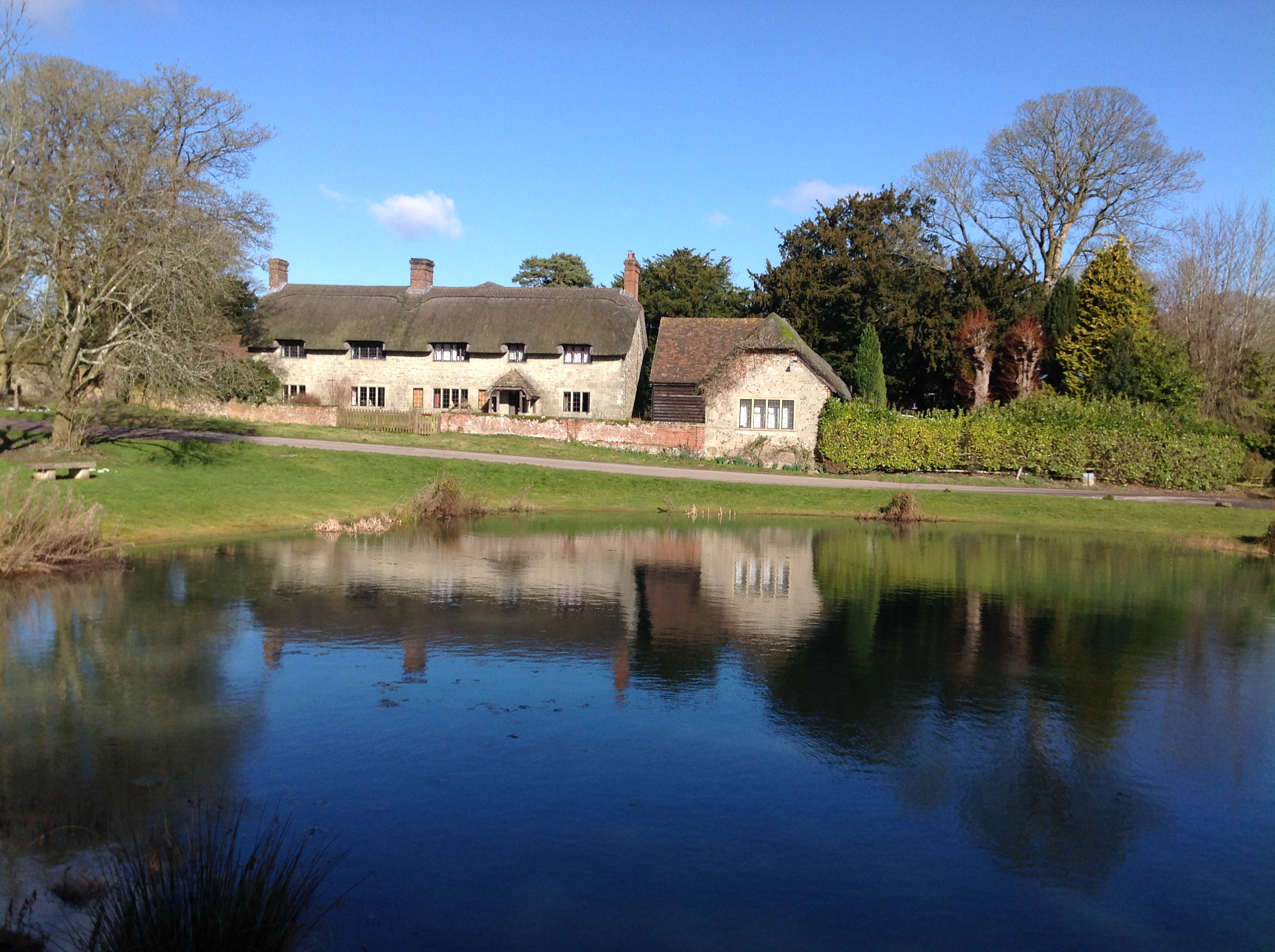 Ashmore Pond, 21/02/2015 |
Class31 |
Sunday 22nd of February 2015 04:49:44 PM |
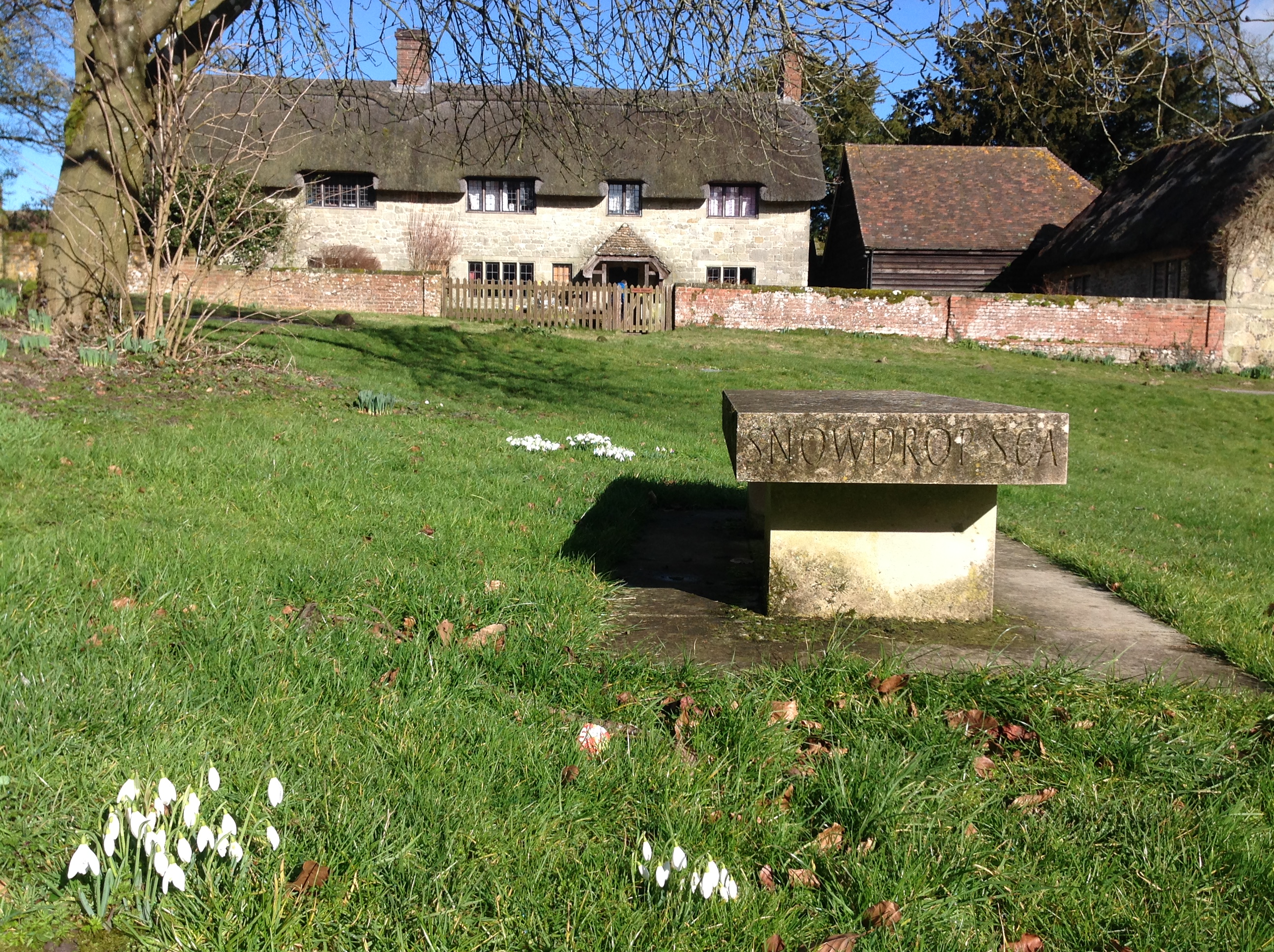 Snowdrops, Ashmore, 21/02/2015 |
Class31 |
Sunday 22nd of February 2015 04:48:41 PM |
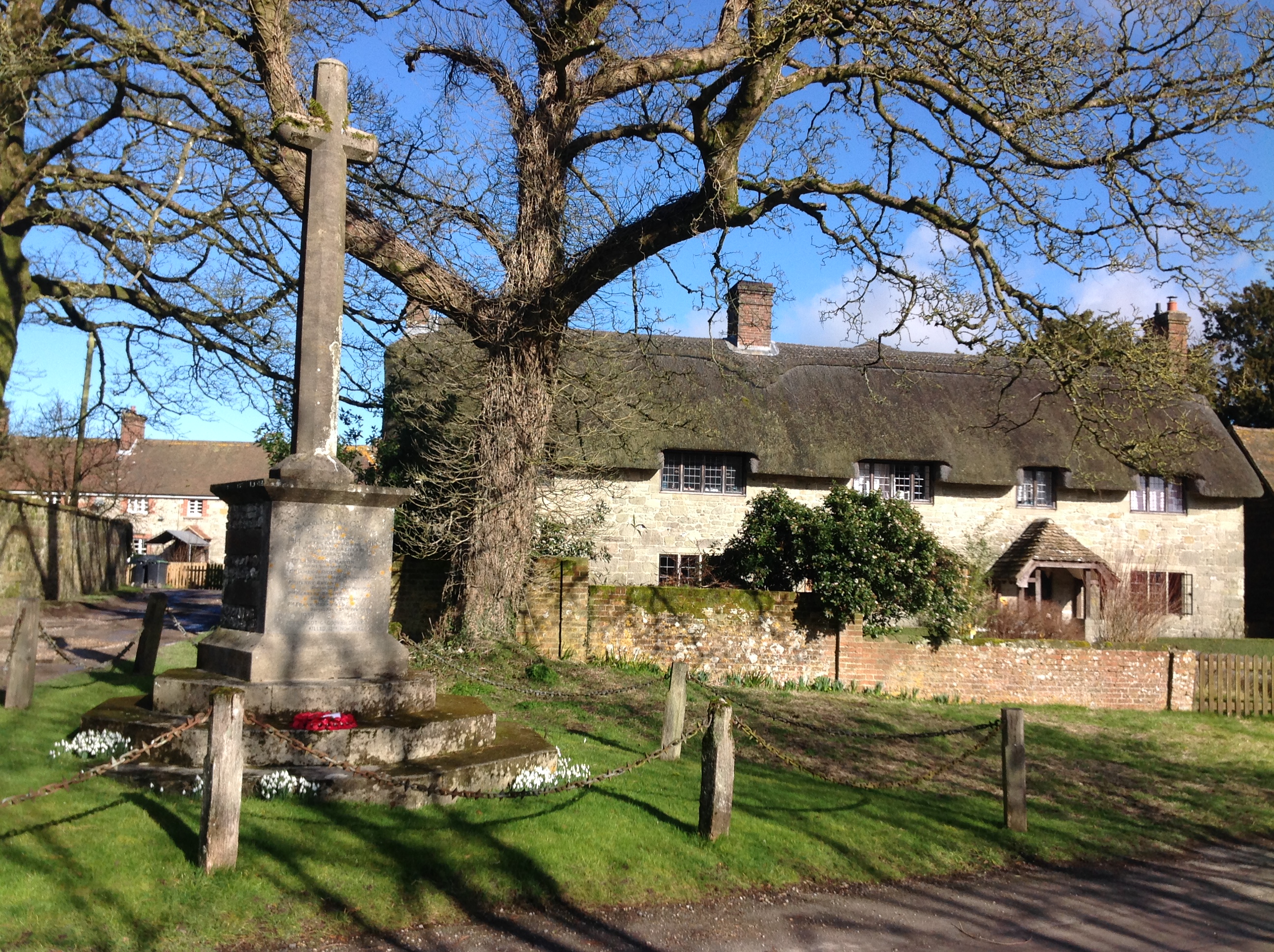 War Memorial, Ashmore, 21/02/2015 |
Class31 |
Sunday 22nd of February 2015 04:47:51 PM |


