
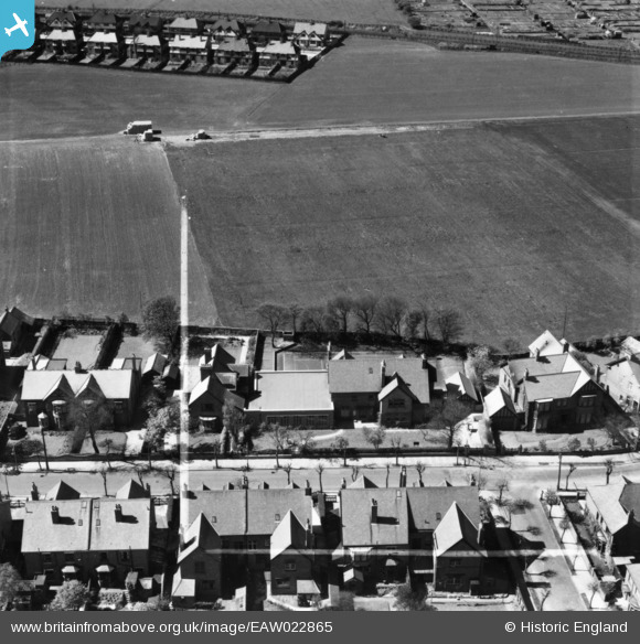
eaw022865 ENGLAND (1949). Monkseaton Grammar School on Holywell Avenue, Monkseaton, 1949. This image has been produced from a print marked by Aerofilms Ltd for photo editing.
© Copyright OpenStreetMap contributors and licensed by the OpenStreetMap Foundation. 2024. Cartography is licensed as CC BY-SA.
Nearby Images (3)
EAW022865

EAW022866

EAW022864

Details
| Title | [EAW022865] Monkseaton Grammar School on Holywell Avenue, Monkseaton, 1949. This image has been produced from a print marked by Aerofilms Ltd for photo editing. |
| Reference | EAW022865 |
| Date | 29-April-1949 |
| Link | |
| Place name | MONKSEATON |
| Parish | |
| District | |
| Country | ENGLAND |
| Easting / Northing | 434648, 572591 |
| Longitude / Latitude | -1.457675548331, 55.046544496058 |
| National Grid Reference | NZ346726 |
Pins
 cheviotwalks |
Tuesday 14th of October 2014 06:55:24 PM | |
cheviotwalks |
Tuesday 14th of October 2014 06:54:54 PM | |
cheviotwalks |
Tuesday 14th of October 2014 06:54:32 PM |


