
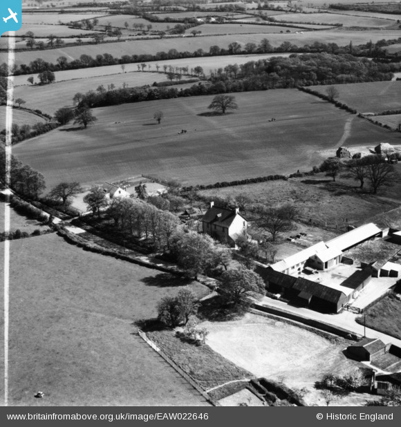
eaw022646 ENGLAND (1949). Highbury House, Wood End, 1949. This image has been produced from a print marked by Aerofilms Ltd for photo editing.
© Copyright OpenStreetMap contributors and licensed by the OpenStreetMap Foundation. 2024. Cartography is licensed as CC BY-SA.
Nearby Images (11)
EAW022646

EAW022647

EAW022651

EAW022652

EAW022648

EAW022649

EAW022650

EAW017168

EAW017169

EAW017167

EAW017170

Details
| Title | [EAW022646] Highbury House, Wood End, 1949. This image has been produced from a print marked by Aerofilms Ltd for photo editing. |
| Reference | EAW022646 |
| Date | 26-April-1949 |
| Link | |
| Place name | WOOD END |
| Parish | ARDELEY |
| District | |
| Country | ENGLAND |
| Easting / Northing | 532816, 225315 |
| Longitude / Latitude | -0.068925954893131, 51.910076709308 |
| National Grid Reference | TL328253 |
Pins
Be the first to add a comment to this image!


