
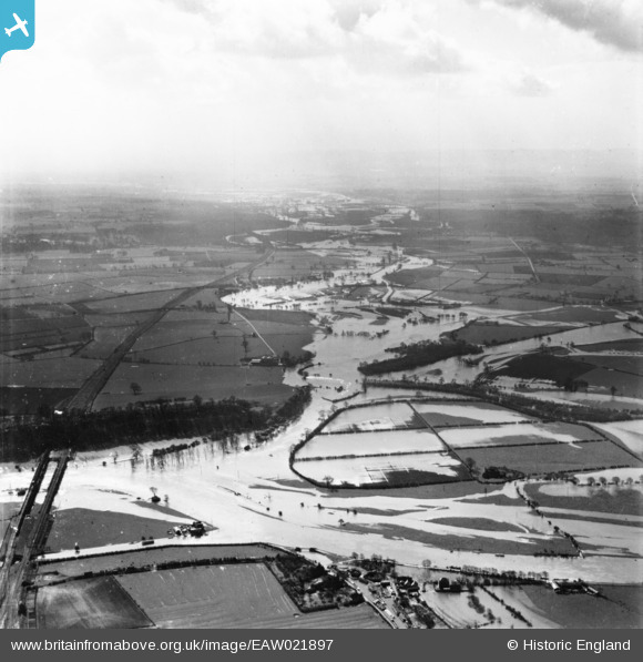
eaw021897 ENGLAND (1949). Red Hill and flooding around the River Soar, Ratcliffe on Soar, from the north, 1949. This image has been produced from a print.
© Copyright OpenStreetMap contributors and licensed by the OpenStreetMap Foundation. 2024. Cartography is licensed as CC BY-SA.
Details
| Title | [EAW021897] Red Hill and flooding around the River Soar, Ratcliffe on Soar, from the north, 1949. This image has been produced from a print. |
| Reference | EAW021897 |
| Date | 8-April-1949 |
| Link | |
| Place name | RATCLIFFE ON SOAR |
| Parish | RATCLIFFE ON SOAR |
| District | |
| Country | ENGLAND |
| Easting / Northing | 449210, 330580 |
| Longitude / Latitude | -1.2688465469573, 52.870119812472 |
| National Grid Reference | SK492306 |
Pins
Be the first to add a comment to this image!


