
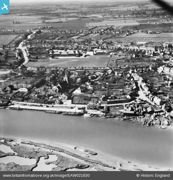
eaw021830 ENGLAND (1949). The Hythe, North Street and environs, Maldon, 1949. This image has been produced from a print.
© Copyright OpenStreetMap contributors and licensed by the OpenStreetMap Foundation. 2024. Cartography is licensed as CC BY-SA.
Nearby Images (10)
EAW021830

EAW043493

EPW054678

EAW021829

EAW021828

EAW001532

EPW054680

EAW001530

EPW054683

EAW001531

Details
| Title | [EAW021830] The Hythe, North Street and environs, Maldon, 1949. This image has been produced from a print. |
| Reference | EAW021830 |
| Date | 9-April-1949 |
| Link | |
| Place name | MALDON |
| Parish | MALDON |
| District | |
| Country | ENGLAND |
| Easting / Northing | 585669, 206805 |
| Longitude / Latitude | 0.68881944294721, 51.728711482132 |
| National Grid Reference | TL857068 |
Pins
 David960 |
Friday 23rd of June 2023 11:40:12 AM |


