
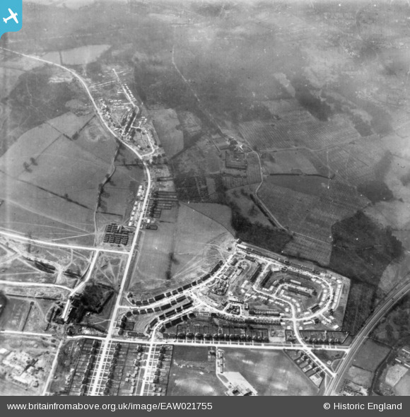
eaw021755 ENGLAND (1949). Housing estate under construction, St Paul's Cray, 1949. This image has been produced from a print.
© Copyright OpenStreetMap contributors and licensed by the OpenStreetMap Foundation. 2024. Cartography is licensed as CC BY-SA.
Nearby Images (5)
EAW021755

EAW021756

EPW045613

EAW026812

EAW026813

Details
| Title | [EAW021755] Housing estate under construction, St Paul's Cray, 1949. This image has been produced from a print. |
| Reference | EAW021755 |
| Date | 1-April-1949 |
| Link | |
| Place name | ST PAUL'S CRAY |
| Parish | |
| District | |
| Country | ENGLAND |
| Easting / Northing | 546141, 170032 |
| Longitude / Latitude | 0.10155951897388, 51.409958911287 |
| National Grid Reference | TQ461700 |
Pins
 Broom1 |
Tuesday 16th of February 2016 08:57:56 PM |


