
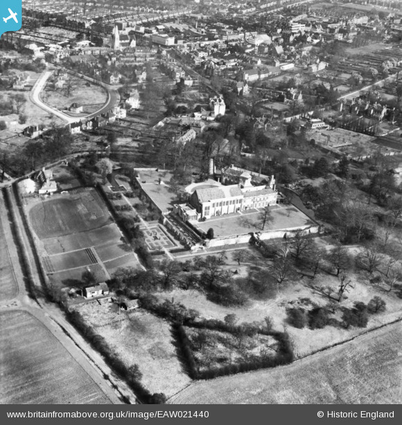
eaw021440 ENGLAND (1949). Eltham Palace and environs, Eltham, 1949. This image has been produced from a print.
© Copyright OpenStreetMap contributors and licensed by the OpenStreetMap Foundation. 2024. Cartography is licensed as CC BY-SA.
Nearby Images (4)
EAW021440

EAW021438

EAW021439

EAW021437

Details
| Title | [EAW021440] Eltham Palace and environs, Eltham, 1949. This image has been produced from a print. |
| Reference | EAW021440 |
| Date | 15-March-1949 |
| Link | |
| Place name | ELTHAM |
| Parish | |
| District | |
| Country | ENGLAND |
| Easting / Northing | 542394, 173984 |
| Longitude / Latitude | 0.04930262725445, 51.446428450696 |
| National Grid Reference | TQ424740 |
Pins
 tbh54uk |
Saturday 10th of October 2020 09:47:11 PM | |
tbh54uk |
Saturday 10th of October 2020 09:44:44 PM | |
tbh54uk |
Saturday 10th of October 2020 09:43:47 PM | |
 Barney |
Friday 15th of May 2015 12:14:27 PM | |
Barney |
Friday 15th of May 2015 12:11:59 PM |


