
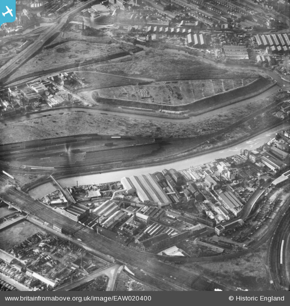
eaw020400 ENGLAND (1948). Waterworks River and environs, Stratford Marsh, 1948
© Copyright OpenStreetMap contributors and licensed by the OpenStreetMap Foundation. 2024. Cartography is licensed as CC BY-SA.
Nearby Images (14)
EAW020400

EAW020399

EAW020398

EAW020395

EAW020391

EAW020397

EPW026722

EAW020394

EAW020396

EAW020393

EPW026720

EPW026723

EAW020390

EPW026721

Details
| Title | [EAW020400] Waterworks River and environs, Stratford Marsh, 1948 |
| Reference | EAW020400 |
| Date | 4-November-1948 |
| Link | |
| Place name | STRATFORD MARSH |
| Parish | |
| District | |
| Country | ENGLAND |
| Easting / Northing | 537956, 184088 |
| Longitude / Latitude | -0.010576009165287, 51.538332826175 |
| National Grid Reference | TQ380841 |
Pins
Be the first to add a comment to this image!


