
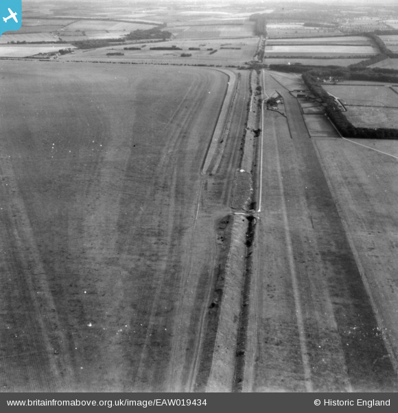
eaw019434 ENGLAND (1948). Devil's Ditch alongside Newmarket Heath, Newmarket, 1948. This image has been produced from a print.
© Copyright OpenStreetMap contributors and licensed by the OpenStreetMap Foundation. 2024. Cartography is licensed as CC BY-SA.
Details
| Title | [EAW019434] Devil's Ditch alongside Newmarket Heath, Newmarket, 1948. This image has been produced from a print. |
| Reference | EAW019434 |
| Date | 20-September-1948 |
| Link | |
| Place name | NEWMARKET |
| Parish | NEWMARKET |
| District | |
| Country | ENGLAND |
| Easting / Northing | 560816, 262473 |
| Longitude / Latitude | 0.35535410232599, 52.236527468575 |
| National Grid Reference | TL608625 |
Pins
Be the first to add a comment to this image!


