
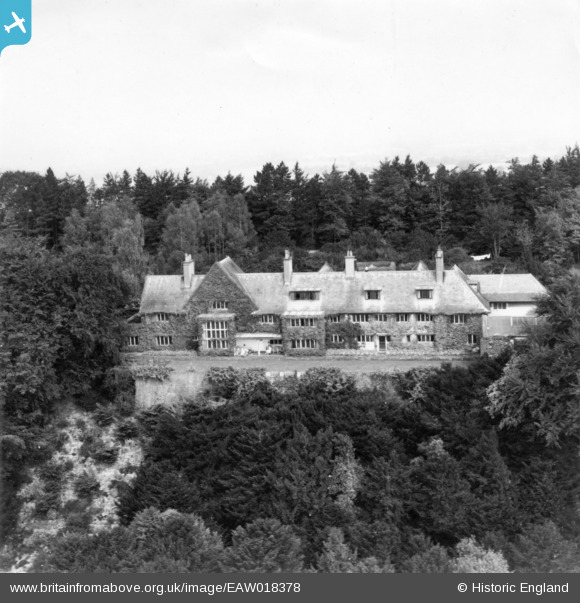
eaw018378 ENGLAND (1948). Greyfriars, Wanborough, 1948. This image has been produced from a print.
© Copyright OpenStreetMap contributors and licensed by the OpenStreetMap Foundation. 2024. Cartography is licensed as CC BY-SA.
Nearby Images (3)
EAW018378

EAW018380

EAW018379

Details
| Title | [EAW018378] Greyfriars, Wanborough, 1948. This image has been produced from a print. |
| Reference | EAW018378 |
| Date | 27-August-1948 |
| Link | |
| Place name | WANBOROUGH |
| Parish | WANBOROUGH |
| District | |
| Country | ENGLAND |
| Easting / Northing | 494580, 148312 |
| Longitude / Latitude | -0.64538573697575, 51.225639009896 |
| National Grid Reference | SU946483 |
Pins
Be the first to add a comment to this image!


