
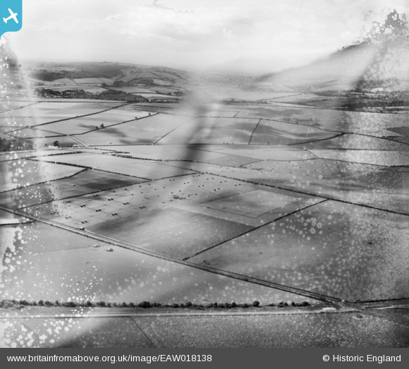
eaw018138 ENGLAND (1948). Studhouse Farm Poultry Houses and the surrounding countryside, Pimperne, from the east, 1948. This image has been produced from a damaged negative.
© Copyright OpenStreetMap contributors and licensed by the OpenStreetMap Foundation. 2024. Cartography is licensed as CC BY-SA.
Nearby Images (2)
EAW018138

EAW018135

Details
| Title | [EAW018138] Studhouse Farm Poultry Houses and the surrounding countryside, Pimperne, from the east, 1948. This image has been produced from a damaged negative. |
| Reference | EAW018138 |
| Date | 16-August-1948 |
| Link | |
| Place name | PIMPERNE |
| Parish | PIMPERNE |
| District | |
| Country | ENGLAND |
| Easting / Northing | 391611, 110006 |
| Longitude / Latitude | -2.1192801076816, 50.888924603546 |
| National Grid Reference | ST916100 |
Pins
Be the first to add a comment to this image!


