
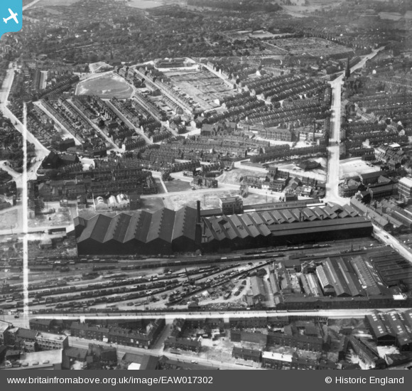
eaw017302 ENGLAND (1948). The Cyclops Steel and Iron Works and environs, Burngreave, 1948. This image has been produced from a print marked by Aerofilms Ltd for photo editing.
© Copyright OpenStreetMap contributors and licensed by the OpenStreetMap Foundation. 2024. Cartography is licensed as CC BY-SA.
Nearby Images (7)
EAW017302

EAW017303

EAW017304

EAW017301

EAW017305

EAW017300

EAW017299

Details
| Title | [EAW017302] The Cyclops Steel and Iron Works and environs, Burngreave, 1948. This image has been produced from a print marked by Aerofilms Ltd for photo editing. |
| Reference | EAW017302 |
| Date | 19-July-1948 |
| Link | |
| Place name | BURNGREAVE |
| Parish | |
| District | |
| Country | ENGLAND |
| Easting / Northing | 436348, 388589 |
| Longitude / Latitude | -1.4533584191485, 53.39262100763 |
| National Grid Reference | SK363886 |
Pins
 ladyceecee |
Friday 16th of August 2019 05:51:14 PM | |
travellingpass |
Sunday 21st of December 2014 05:19:25 PM | |
travellingpass |
Sunday 21st of December 2014 05:18:31 PM | |
travellingpass |
Sunday 21st of December 2014 05:17:29 PM | |
travellingpass |
Sunday 21st of December 2014 05:16:09 PM | |
travellingpass |
Sunday 21st of December 2014 05:08:36 PM | |
RichardL |
Tuesday 30th of September 2014 08:02:22 AM |
User Comment Contributions
Never visited the cemetery although aware of ancestral burials here - with cemetery details courtesy of hobby - Family History |
Caldervale |
Sunday 25th of January 2015 05:25:44 PM |


