
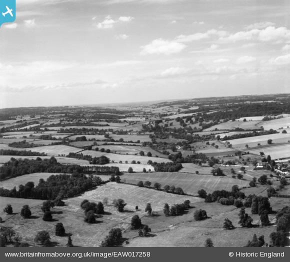
eaw017258 ENGLAND (1948). The valley of the River Gade, Hemel Hempstead, from the south-east, 1948. This image has been produced from a print.
© Copyright OpenStreetMap contributors and licensed by the OpenStreetMap Foundation. 2024. Cartography is licensed as CC BY-SA.
Details
| Title | [EAW017258] The valley of the River Gade, Hemel Hempstead, from the south-east, 1948. This image has been produced from a print. |
| Reference | EAW017258 |
| Date | 20-July-1948 |
| Link | |
| Place name | HEMEL HEMPSTEAD |
| Parish | |
| District | |
| Country | ENGLAND |
| Easting / Northing | 504965, 208645 |
| Longitude / Latitude | -0.47874874996199, 51.766179590406 |
| National Grid Reference | TL050086 |
Pins
 Baz 1969 |
Friday 20th of November 2020 07:56:01 AM | |
OldBill |
Monday 10th of December 2018 08:39:02 PM | |
OldBill |
Monday 10th of December 2018 08:38:18 PM | |
OldBill |
Monday 10th of December 2018 08:37:28 PM |


