
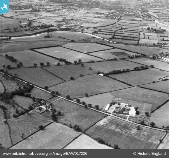
eaw017236 ENGLAND (1948). Harlescott County Junior School and Sundorne Grove off Featherbed Lane and surrounding countryside, Shrewsbury, 1948. This image has been produced from a print.
© Copyright OpenStreetMap contributors and licensed by the OpenStreetMap Foundation. 2024. Cartography is licensed as CC BY-SA.
Nearby Images (2)
EAW017236

EAW017237

Details
| Title | [EAW017236] Harlescott County Junior School and Sundorne Grove off Featherbed Lane and surrounding countryside, Shrewsbury, 1948. This image has been produced from a print. |
| Reference | EAW017236 |
| Date | 19-July-1948 |
| Link | |
| Place name | SHREWSBURY |
| Parish | SHREWSBURY |
| District | |
| Country | ENGLAND |
| Easting / Northing | 351742, 314960 |
| Longitude / Latitude | -2.7147041907684, 52.729785079165 |
| National Grid Reference | SJ517150 |
Pins
 Matt Aldred edob.mattaldred.com |
Wednesday 6th of March 2024 07:43:11 PM | |
Matt Aldred edob.mattaldred.com |
Wednesday 6th of March 2024 07:43:00 PM |


