
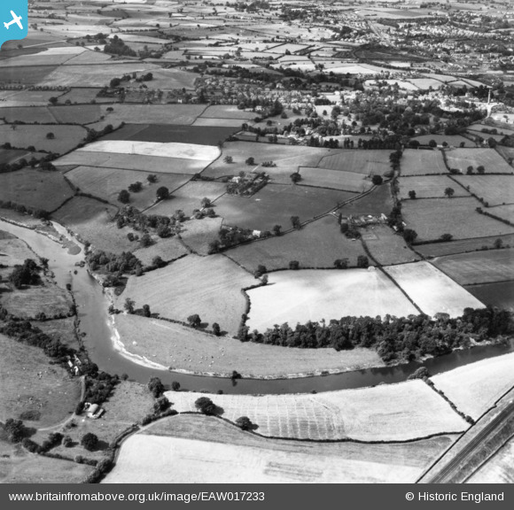
eaw017233 ENGLAND (1948). Countryside around Robertsford and Weirhill, Shrewsbury, 1948. This image has been produced from a print.
© Copyright OpenStreetMap contributors and licensed by the OpenStreetMap Foundation. 2024. Cartography is licensed as CC BY-SA.
Nearby Images (4)
EAW017233

EAW012531

EAW012628

EAW017231

Details
| Title | [EAW017233] Countryside around Robertsford and Weirhill, Shrewsbury, 1948. This image has been produced from a print. |
| Reference | EAW017233 |
| Date | 19-July-1948 |
| Link | |
| Place name | SHREWSBURY |
| Parish | SHREWSBURY |
| District | |
| Country | ENGLAND |
| Easting / Northing | 351882, 312055 |
| Longitude / Latitude | -2.7122054617579, 52.703681745256 |
| National Grid Reference | SJ519121 |


