
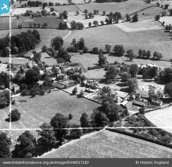
eaw017182 ENGLAND (1948). Wardington House and environs, Wardington, 1948. This image has been produced from a print marked by Aerofilms Ltd for photo editing.
© Copyright OpenStreetMap contributors and licensed by the OpenStreetMap Foundation. 2024. Cartography is licensed as CC BY-SA.
Nearby Images (5)
EAW017182

EAW017185

EAW017186

EAW017184
 and environs, Wardington, 1948. This image has been produced from a damaged negative.")
EAW017183

Details
| Title | [EAW017182] Wardington House and environs, Wardington, 1948. This image has been produced from a print marked by Aerofilms Ltd for photo editing. |
| Reference | EAW017182 |
| Date | 19-July-1948 |
| Link | |
| Place name | WARDINGTON |
| Parish | WARDINGTON |
| District | |
| Country | ENGLAND |
| Easting / Northing | 449040, 246734 |
| Longitude / Latitude | -1.2837260501306, 52.116336947514 |
| National Grid Reference | SP490467 |
Pins
Be the first to add a comment to this image!


