
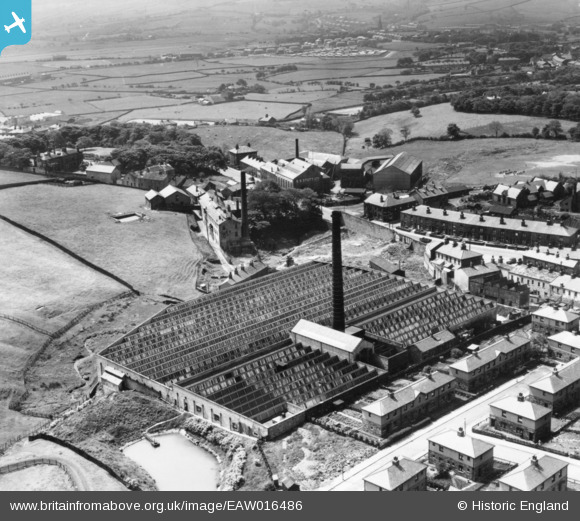
eaw016486 ENGLAND (1948). Grane Mill and environs, Haslingden, 1948. This image has been produced from a print.
© Copyright OpenStreetMap contributors and licensed by the OpenStreetMap Foundation. 2024. Cartography is licensed as CC BY-SA.
Nearby Images (8)
EAW016486

EAW016483

EAW016488

EAW016487

EAW016484

EAW016485

EAW016481

EAW016482

Details
| Title | [EAW016486] Grane Mill and environs, Haslingden, 1948. This image has been produced from a print. |
| Reference | EAW016486 |
| Date | 11-June-1948 |
| Link | |
| Place name | HASLINGDEN |
| Parish | |
| District | |
| Country | ENGLAND |
| Easting / Northing | 379010, 422763 |
| Longitude / Latitude | -2.3179703606584, 53.700653745107 |
| National Grid Reference | SD790228 |


